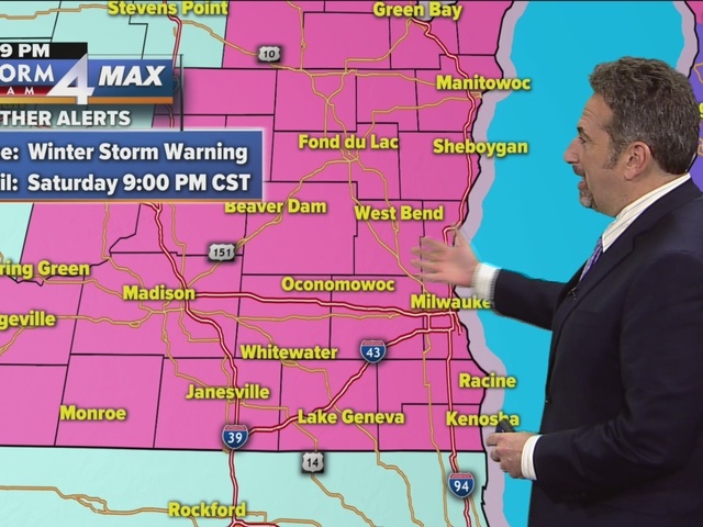

***WINTER STORM WARNING UNTIL 9PM SATURDAY FOR ALL OF SE WI**
The snow began yesterday afternoon and continued overnight with about 3-5 inches of snow across SE Wisconsin.
An additional 2-4” of snow is possible today, and the WINTER STORM WARNING continues until 9pm for a total of 6-9” of fluffy snow. Another cold front brings strong winds Saturday night with blowing and drifting snow, and temps dropping to 0, or even slightly below.
- SEVERE WEATHER TOOLS: CLOSINGS | SnowCast | Phone Alerts
It will be sunny, breezy and cold for Sunday with a high near 3 early, then dropping below zero with wind chills to -20 all day.
Blowing snow will continue to be an issue all day. Sunday night will drop to -7 in Milwaukee to -12 inland, and Monday is sunny and cold with highs in the teens, and a gusty wind that will keep wind chills below zero.
A warming trend begins on Tuesday with highs near 30, and we will get to freezing on Wednesday with scattered snow showers.
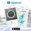 Be sure and try our new SNOWCAST APP! It is the "snow equivalent to STORM SHIELD" - a great new product that gives you high resolution snow forecasts for any part of the nation! It has just been introduced for iPhones, but we are working on the Android version! Just search SNOWCAST in the App Store or SNOWCAST APP! It is the "snow equivalent to STORM SHIELD" - a great new product that gives you high resolution snow forecasts for any part of the nation! It has just been introduced for iPhones, but we are working on the Android version! Just search SNOWCAST in the App Store or click here.
