

Rain is moving in and will soon spread across all of SE Wisconsin.
As we enter the warmer dry sector of the storm later this evening, the rain will become more scattered, and temperatures may surge well into the 50s. We may get close to the record high of 57.
Around a half inch of rain is expected, with more falling across central Wisconsin. Some thunder is also possible, but severe weather should stay to our south. We may also get clipped with a period of mixed precipitation tomorrow morning.
Watch: When to expect more snow:
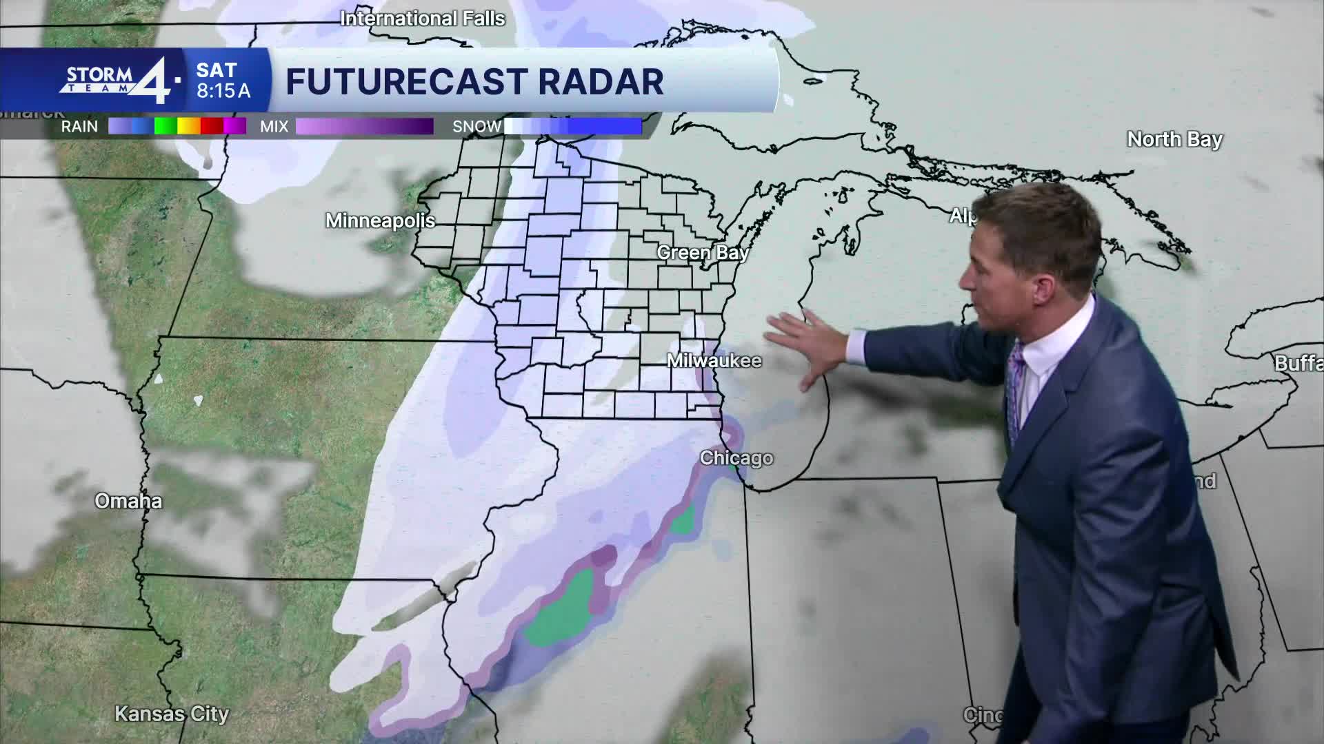
We're still watching another storm system for Saturday. Models continue to indicate an underdeveloped area of low pressure that may bring us an inch or two of snow.
TONIGHT: Rain to Scattered Showers and Windy. Maybe Thunder. Total Rain: Around 0.50"
Lows: 38
Wind: S to W 15-25 mph
FRIDAY: Ch. Morning Mix. Bec. Mostly Sunny
High: 43
Wind: NW 10-15 mph
SATURDAY: Snow Likely. 1-2" Possible
High: 34
SUNDAY: Mostly Cloudy and Windy
High: 31
MONDAY: Mostly Cloudy
High: 38
It’s about time to watch on your time. Stream local news and weather 24/7 by searching for “TMJ4” on your device.
Available for download on Roku, Apple TV, Amazon Fire TV, and more.
