

It was an incredible February day with a ton of sunshine, and we shattered the record high temperature by climbing into the 60s.
We have a frontal boundary sagging down from the north this evening. The wind will shift out of the north and there is a chance for a few light showers to develop along the front.
The best chance for rain will be between 7 and 10 p.m. Only a few hundredths of an inch of rain is possible.
Once the wind shifts, temperatures will quickly fall into the 40s, then 30s overnight.
Watch: How long will the warmth last?
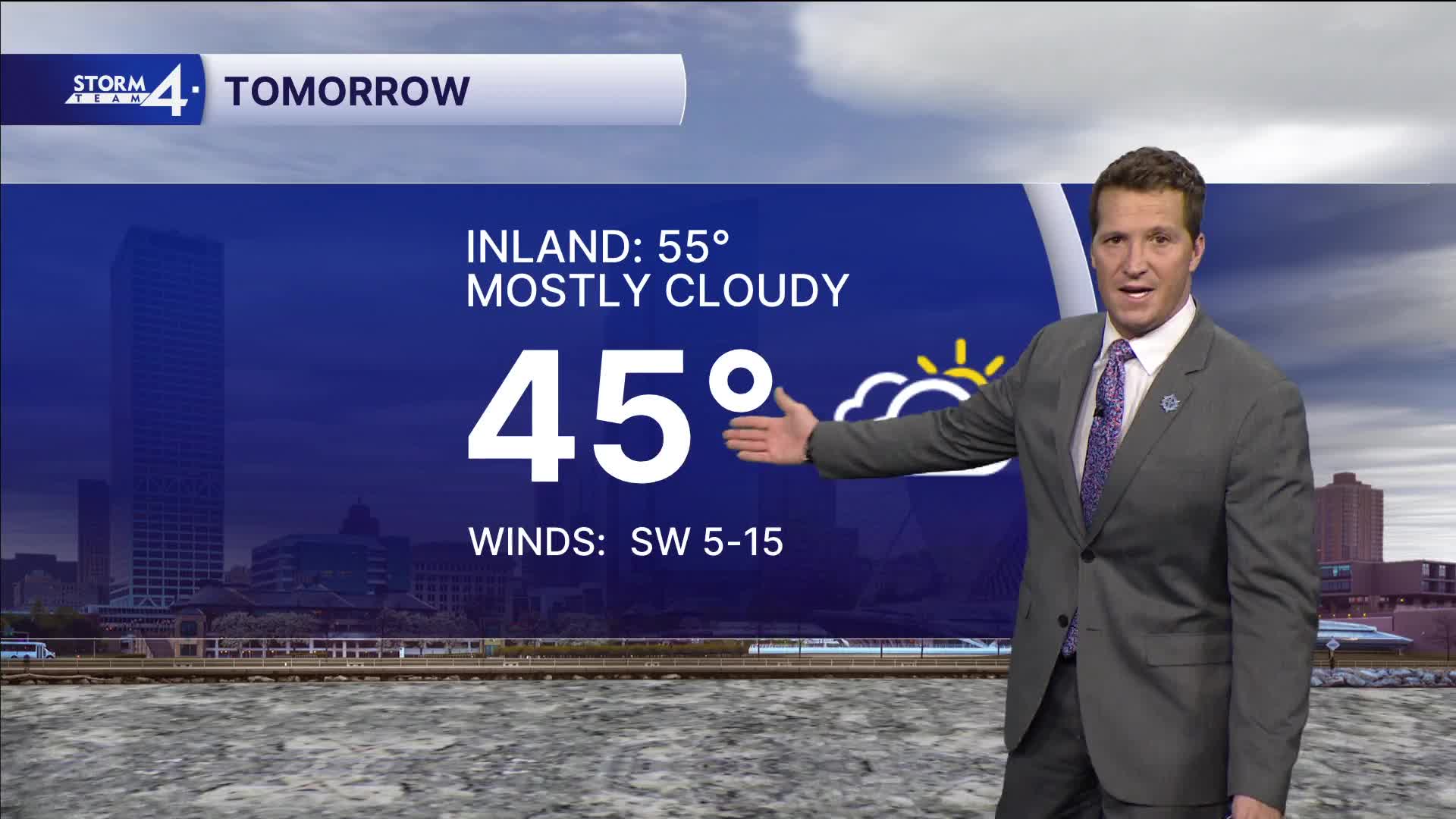
Plan for it to be much cooler tomorrow, but still above average. The next storm system will bring rain showers to the area tomorrow night. A few rumbles of thunder will be possible.
We may squeeze out one more 60-degree day on Wednesday before temperatures slide the rest of the week.
HERE'S YOUR LATEST STORM TEAM WEATHER FORECAST FOR MILWAUKEE
AND SOUTHEAST WISCONSIN BY METEOROLOGIST BRENDAN JOHNSON
MONDAY: Mostly Sunny and Mild
High: 60
Wind: W 10-15 mph
TONIGHT: Increasing Clouds
Lows: 34
Wind: W 5 mph
TUESDAY: Mostly Cloudy; Chance PM Rain
High: 45
WEDNESDAY: Morning Rain; Afternoon Sunshine
High: 56
THURSDAY: Mostly Cloudy, Chance PM Rain/Snow Mix
High: 46
FRIDAY: Chance Mix
High: 40
It’s about time to watch on your time. Stream local news and weather 24/7 by searching for “TMJ4” on your device.
Available for download on Roku, Apple TV, Amazon Fire TV, and more.
