

A clipper system brings a chance for light snow Thursday morning. Snow is possible from 7 a.m. to noon.
Expect a slick and slippery morning commute, but snowfall accumulations will be minor. With warmer air around, patchy fog & freezing drizzle is possible into the afternoon.
Watch: When we could see our next chance for snow
There is another small chance for a round of light snow on Friday.
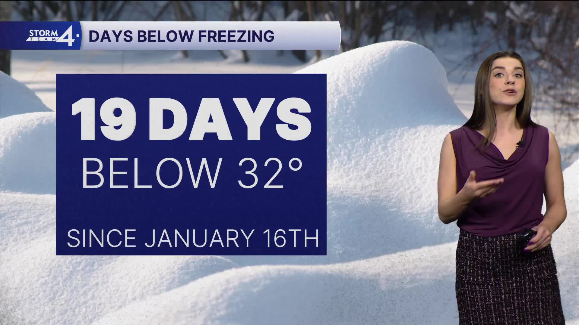
Your Storm Team 4cast high on Thursday is 32 degrees. This would end a 19-day stretch of temperatures below freezing.
Highs climb into the upper 30s on Friday before falling back into the 20s on Saturday. Another round of light snow is possible late Saturday.
TONIGHT: Partly Cloudy
Low: 13
Wind: SW 5 mph
THURSDAY: Light Snow Likely; Around 1" Possible
High: 32
Wind: SW 5-10 mph
FRIDAY: Slight Chance Snow Showers; Becoming Partly Cloudy
High: 37
W:10-15 mph
SATURDAY: Mostly Sunny and Cold
High: 21
SUNDAY: AM Snow; Mostly Cloudy
High: 29
It’s about time to watch on your time. Stream local news and weather 24/7 by searching for “TMJ4” on your device.
Available for download on Roku, Apple TV, Amazon Fire TV, and more.
