

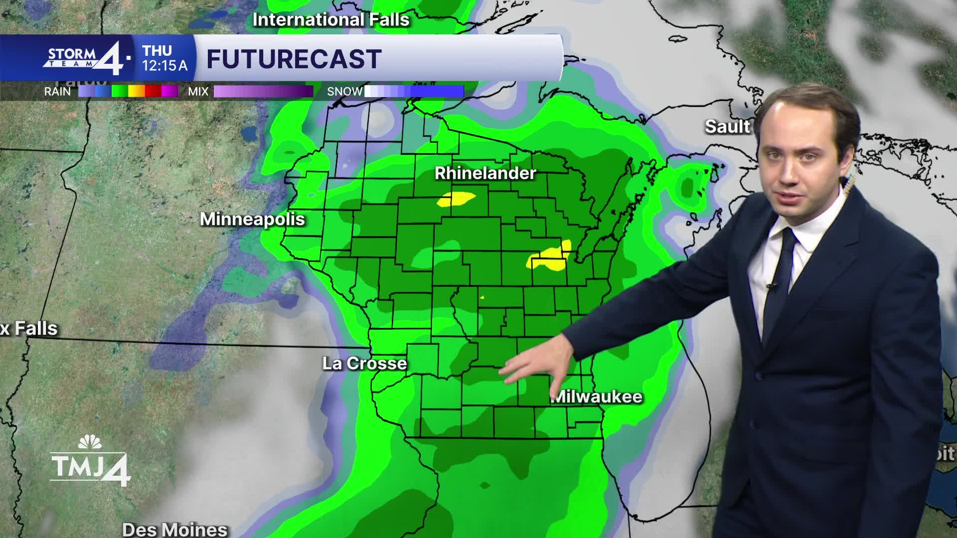


The drought monitor came out on Thursday, and all of Southeast Wisconsin is in a moderate drought. We have seen 1/2" - 2" of rain in the last few days. There will be plenty of rain chances in the next 7 days.
We start your week with scattered showers early Monday morning. We will keep an eye on the radar through the middle of the day as more rain and storms are likely Monday afternoon & evening. Rain could be heavy at times. We have the chance to see impressive rainfall totals which would help all our lawns and gardens. The chance for severe weather is low but don't let your guard down Monday evening for storms to rapidly intensify. We might see some flooding in central Wisconsin as heavy rain is possible.
Showers and storms are possible again Tuesday night but severe weather is unlikely.
Besides the rain, the week will be HOT and humid! Highs will be in the 90s by Wednesday and Thursday. Dew points hit the 70s which means it will feel more like 100 degrees!
WATCH: Will we see a rise in temperatures?
HERE'S YOUR LATEST STORM TEAM WEATHER FORECAST FOR MILWAUKEE
AND SOUTHEASTERN WISCONSIN BY METEOROLOGIST LAUREN LARSEN
TONIGHT: Partly Cloudy
Low: 55
Wind: E 5 MPH
MONDAY: Mostly Cloudy, Rain Likely - Heavy at times
High: 80 Lake 84 Inland
TUESDAY: Chance of Storms. Warm/Humid
High: 84 Lake 88 Inland
WEDNESDAY: Hot & Humid
High: 92
THURSDAY: Rain & Storms Likely, Hot & Humid
High: 91
FRIDAY: Chance Showers/Storms
High: 85
It’s about time to watch on your time. Stream local news and weather 24/7 by searching for “TMJ4” on your device.
Available for download on Roku, Apple TV, Amazon Fire TV, and more.
