

The humidity ramped up today with dewpoints now hovering around 70 degrees. The increase in humidity is here to stay heading into the weekend. A few showers have popped up in the tropical environment this afternoon and we can't rule out an isolated shower or storm overnight, and once again on Friday. I wouldn't cancel any outdoor plans but just keep tabs on the radar.
Watch: Hit-and-miss storms return
If we don't reach 90 degrees tomorrow, we'll have a better chance on Saturday. With the humidity, it may feel close to 100. A little better chance for storms arrives on Sunday.
TONIGHT: Slight Ch. Shower/Storm and Humid
Low: 71
Wind: S 5-10 mph
FRIDAY: Mostly Sunny, Very Warm, and Humid. Isolated T-Storms
High: 88
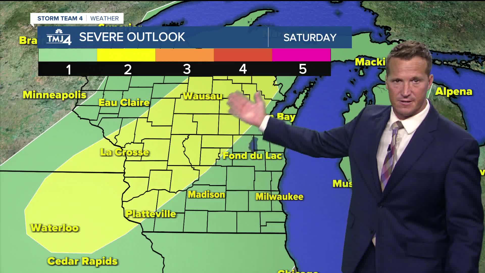
SATURDAY: Mostly Sunny, Breezy, Hot, and Humid
High: 92
SUNDAY: Partly Cloudy, Very Warm, and Muggy. Ch. T-Storms
High: 88
MONDAY: Partly Cloudy and Still Warm & Humid. Ch. T-Storms
High: 85
It’s about time to watch on your time. Stream local news and weather 24/7 by searching for “TMJ4” on your device.
Available for download on Roku, Apple TV, Amazon Fire TV, and more.
