

We're drying out this evening after some decent rainfall last night for some of us. Skies will remain mostly cloudy tonight with lows around 50 degrees.
A few showers may return during the day on Thursday. This chance for rain is pretty small during the day on Thursday, before a better chance for showers arrives Thursday evening.
Watch: How long the hit & miss showers linger
A much bigger storm system arrives this weekend. The forecast is looking windy and wet much of Saturday, and potentially into Sunday. This may end up being the first real crummy weekend of the fall season.
TONIGHT: Mostly Cloudy
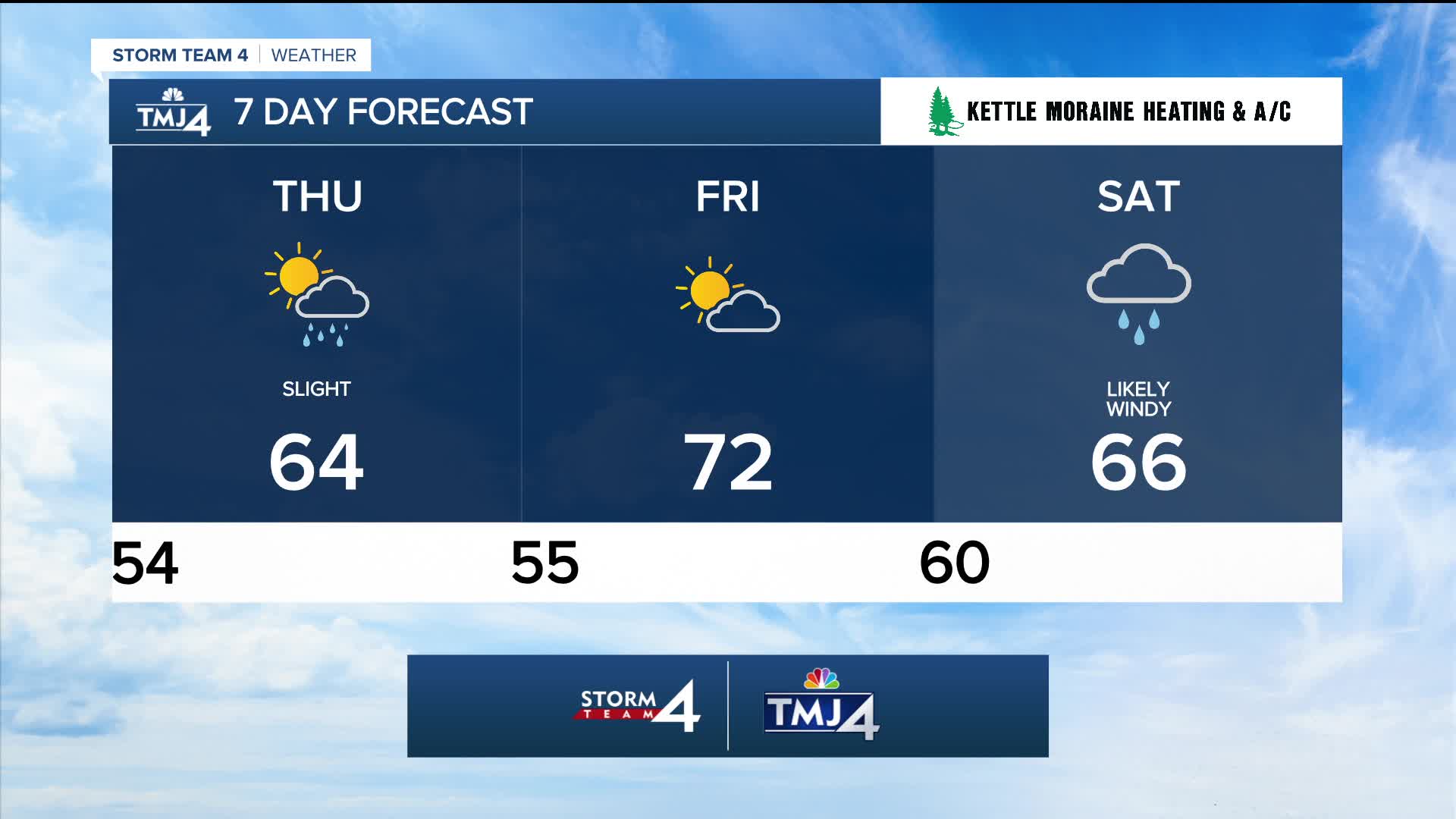
Low: 54
Wind: NE 5mph
THURSDAY: Partly Cloudy with Ch. Showers, mainly late
High: 64
Wind: SE 10-15 mph
FRIDAY: Partly Cloudy. Showers Possible At Night
High: 72
SATURDAY: Cloudy, Windy, and Rainy
High: 66
SUNDAY: Cloudy and windy with Ch. Rain
High: 58
It’s about time to watch on your time. Stream local news and weather 24/7 by searching for “TMJ4” on your device.
Available for download on Roku, Apple TV, Amazon Fire TV, and more.
