

A line of decaying storms is sweeping through southeast Wisconsin this afternoon and a few more storms may fire up early this evening. The best chance for additional storm development will be along the Illinois state line.
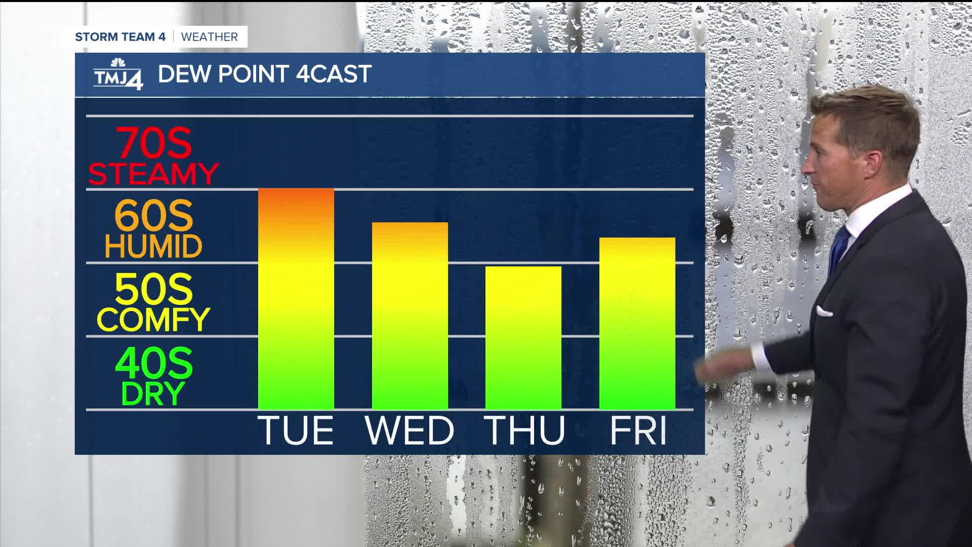
Severe storms are still possible with damaging wind as the primary threat. A stray shower or storm remains possible overnight. It's still going to be a very humid tonight and into tomorrow.
Watch: When we could see some early fall-like weather:
A cold front will bring relief from the humidity tomorrow night along with another small chance for showers.
The rest of the work week looks fantastic then our first real taste of fall weather on the way this weekend.
TONIGHT: Slight Ch. T-Storms Late and Humid
Low: 68
Wind: SE 10-15 MPH
TUESDAY: Partly Cloudy and Still Humid. Slight Ch. Showers Late
High: 82
Wind: NW 5-10 mph
WEDNESDAY: Partly Cloudy
High: 76
THURSDAY: Mostly Sunny
High: 78
FRIDAY: Mostly Sunny. Slight Ch. Showers At Night
High: 81
It’s about time to watch on your time. Stream local news and weather 24/7 by searching for “TMJ4” on your device.
Available for download on Roku, Apple TV, Amazon Fire TV, and more.
