

We saw a few more clouds Sunday nonetheless, a class fall day in Southeast Wisconsin. Thanks to the afternoon sun, our high temperatures were pretty average in the mid-to-upper 60s.
Normal is 64 degrees. Sunday night will be quiet for the most part with partly to mostly cloudy skies and lows will be in the low 50s.
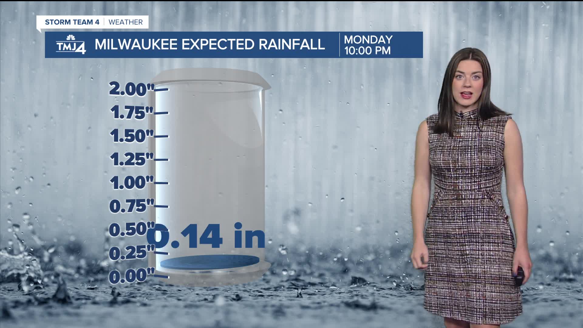
The next chance of rain arrives late Sunday night into Monday as a weak cold front moves through. As it passes, there's a slight chance of a stray shower or a few sprinkles, but most of the day should be okay.
It will be a touch warmer with highs around 70 degrees. As drought conditions creep into Southeast Wisconsin, we could actually use a little rain.
Above average temperatures are expected through Tuesday.
The middle of the week will be a bit cooler.
Rain chances return for next weekend.
Watch your 7-day forecast here:
SUNDAY NIGHT: Partly Cloudy
Low: 54
Wind: S 5-10 mph
MONDAY: Slight Chance Showers; Partly Sunny
High: 70
Wind: SW 5-10 mph
TUESDAY: Mostly Sunny
High: 64
Wind: N 5-10 mph
WEDNESDAY: Partly Cloudy
High: 60
THURSDAY: Partly Cloudy, Late Rain
High: 61
FRIDAY: Chance Rain
High: 65
It’s about time to watch on your time. Stream local news and weather 24/7 by searching for “TMJ4” on your device.
Available for download on Roku, Apple TV, Amazon Fire TV, and more.
