

Flurries lingered through the day, but the temperatures in the 20s felt pretty good. Our weather stays quiet tonight with lows in the teens.
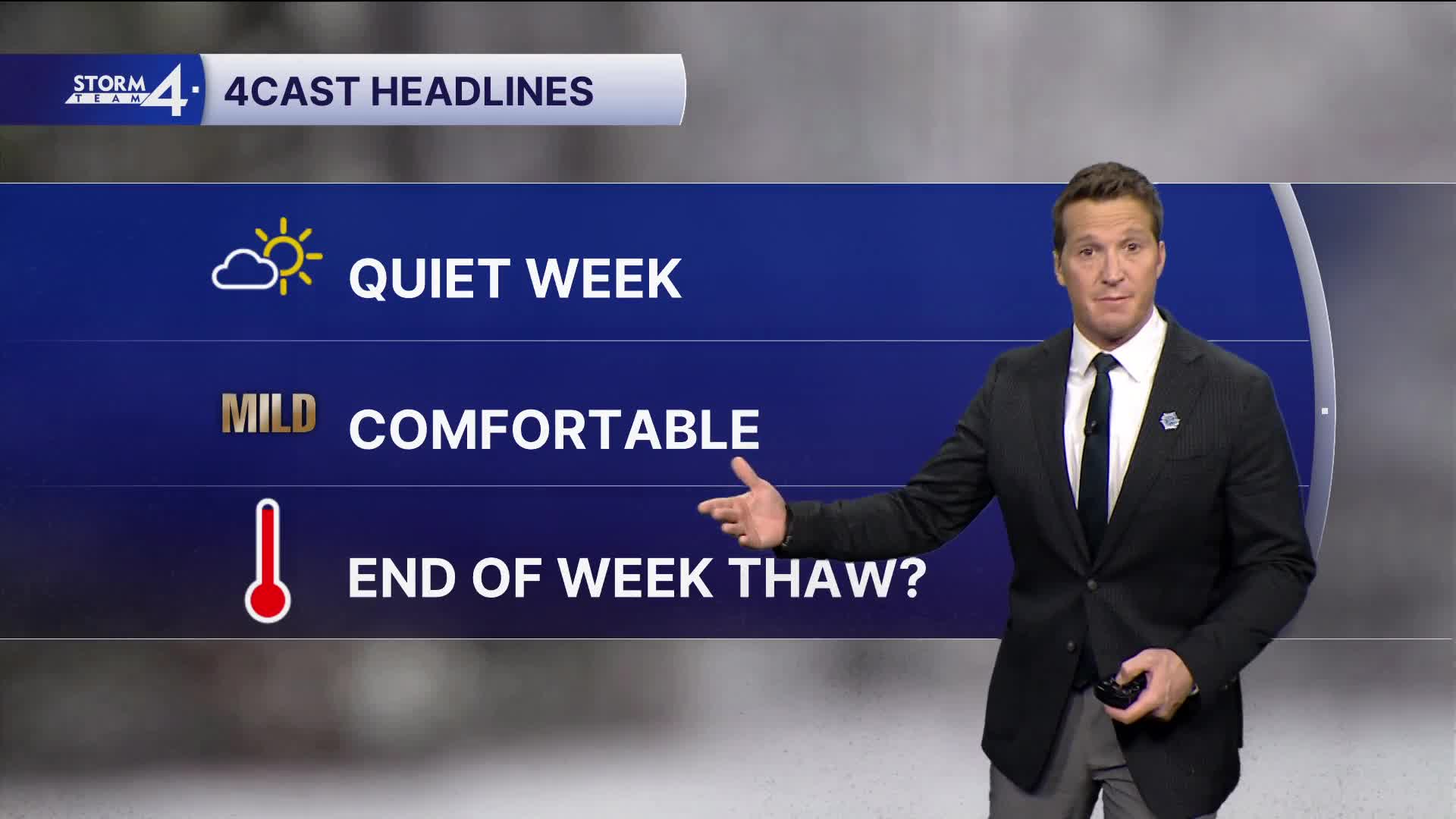
More sunshine breaks out over the next couple of days, and much of the week will be quiet.
Watch: When temperatures may actually get to near the freezing mark:
We're watching a more transitional pattern for the end of the week. We may first see a brief warm-up Thursday and into Friday, followed by a cold front Friday afternoon, which will tumble temperatures over the weekend.
Only a few snow showers are possible, with very little or no accumulation expected.
TONIGHT: Mostly Cloudy
Low: 14
Wind: W 5-10 mph
TUESDAY: Mostly Sunny
High: 26
Wind: N 5-10 mph
WEDNESDAY: Mostly Sunny
High: 24
THURSDAY: Partly Cloudy, Breezy, Ch. Snow Showers
High: 30
FRIDAY: Partly Cloudy
High: 34
It’s about time to watch on your time. Stream local news and weather 24/7 by searching for “TMJ4” on your device.
Available for download on Roku, Apple TV, Amazon Fire TV, and more.
