



We're tracking the arrival of our next storm system to affect the region this weekend.
After a sunny start on Saturday, clouds have increased and we'll have seen a few showers late Saturday afternoon.
The chance for rain only increases. Some heavier showers are possible overnight Saturday, but it looks like the bulk of the rain will track just to our north.
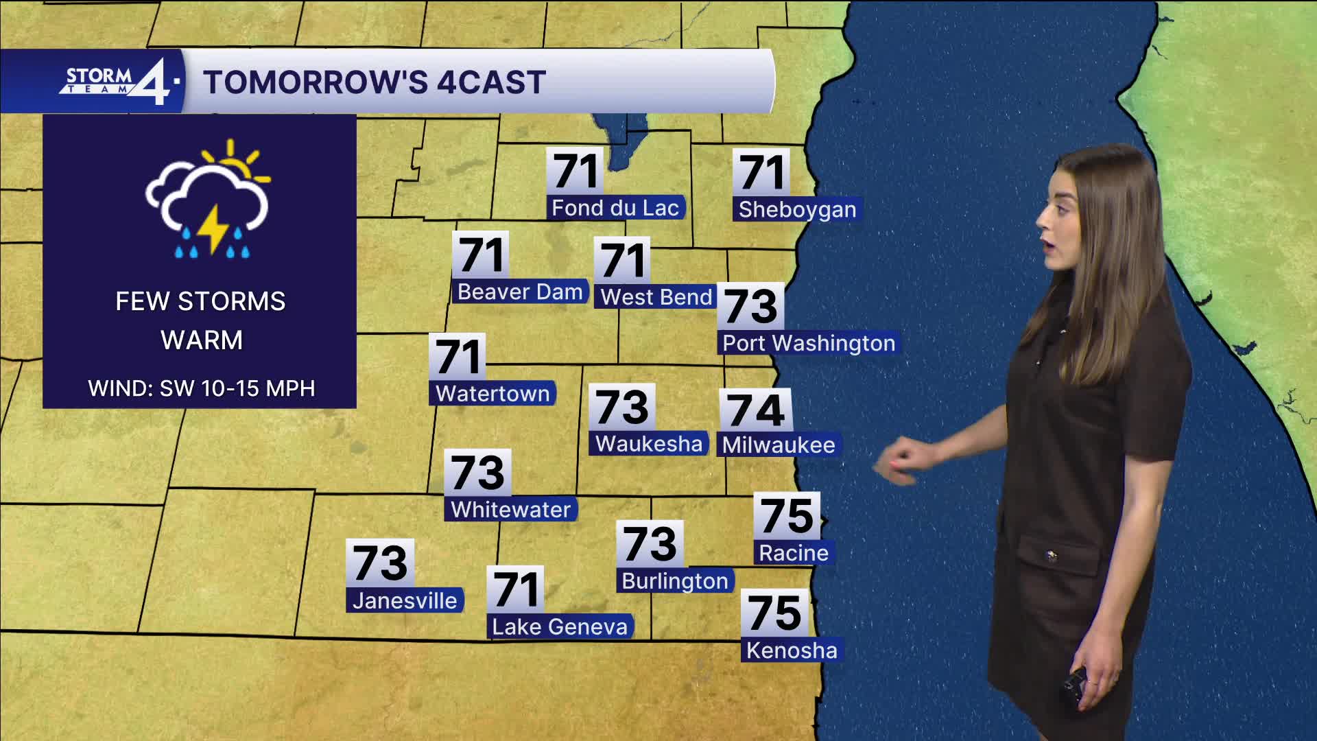
A few more scattered showers and storms are possible Sunday. This is far from a washout scenario but keep tabs on the forecast and radar if you have outdoor plans. We are also watching river flood levels with the continues rain into next week.
Sunday will be warm and breezy with temperatures into the mid 70s and winds gusting to 30 mph
Watch: What time we could see thunderstorms and rain on the last day of the weekend.
Temperatures hit the 70s for most of the coming week.
Storms are likely late Monday night. There is a slight risk for severe weather on Monday.
Strong to severe storms are also likely on Tuesday. Our highs are in the mid to upper 70s.
The end of the week looks to be more mild and dry.
SATURDAY NIGHT: Scattered rain showers
Low: 42
Wind: SE 5-10 mph
SUNDAY: Scattered showers/storms
High: 74
Wind: SW 10-20 mph
MONDAY: Partly cloudy and warm, storms late
High: 78
Wind: S 10 mph
TUESDAY: Partly cloudy and warm, storms
High: 76
WEDNESDAY: Chance thunderstorms
High: 70
THURSDAY: Partly cloudy
High: 70
It’s about time to watch on your time. Stream local news and weather 24/7 by searching for “TMJ4” on your device.
Available for download on Roku, Apple TV, Amazon Fire TV, and more.
