

Showers and storms likely fire up this evening with a large hail threat. The greatest hail threat will be between 5 and 10 p.m., but scattered showers and storms will linger through the night.
Most of tonight's severe weather should stay south of the Illinois border.
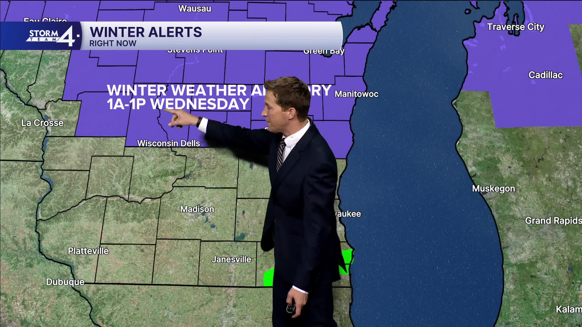
We will eventually transition over to a mix of precipitation by tomorrow morning. Some freezing rain is possible far north. Minor slushy snow accumulation is also possible.
WATCH: Southeast Wisconsin weather: Storm chances and possible snow
Our weather pattern stays very active through the week. Another round of mixed precipitation is possible Thursday night and yet again this weekend. We're really watching the potential for a bigger winter snow/mix event for Sunday.
TONIGHT: Scattered Showers/Storms
Low: 34
Wind: NE 10-20 mph
WEDNESDAY: Rain to Mix, Less Than 1" Snow Accumulation, mainly NW
High: 34
Wind: NE 10-20 mph
THURSDAY: Mostly Cloudy. Snow/Mix Likely at Night
High: 44
FRIDAY: Ch. Mix
High: 42
SATURDAY: Chance Light Snow
High: 36
It’s about time to watch on your time. Stream local news and weather 24/7 by searching for “TMJ4” on your device.
Available for download on Roku, Apple TV, Amazon Fire TV, and more.
