

After a day of sunshine, clouds will thicken up tonight.
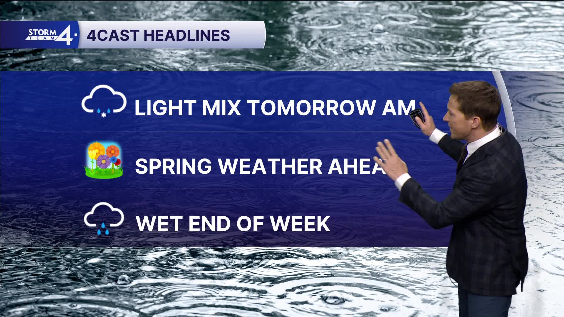
There will be enough moisture in the lower levels to mention a slight chance for freezing drizzle or a light mix early tomorrow morning. Very little or no ice accumulation is expected, but watch out for a few slippery spots.
WATCH: Southeast Wisconsin weather: Spring showers approaching
Warmer temperatures are on the horizon later this week, but along with multiple rain chances.
Thursday and Friday look soggy, and a few showers may linger into Saturday.
If we can offset any lake breeze, more 60s are possible this weekend.
TONIGHT: Increasing Clouds. Ch. Frz. Drizzle
Low: 30
Wind: Calm
TUESDAY: Mostly Cloudy
High: 42
Wind: E 5 mph
WEDNESDAY: Mostly Cloudy.
High: 43 Lake 48 Inland
THURSDAY: Rain Likely
High: 43
FRIDAY: Rain Likely
High: 48 Lake 55 Inland
It’s about time to watch on your time. Stream local news and weather 24/7 by searching for “TMJ4” on your device.
Available for download on Roku, Apple TV, Amazon Fire TV, and more.
