

Finally, sunshine broke out this afternoon. It's going to be a nice and quiet evening, with temperatures falling into the 60s. Beautiful weather is on the way for Thursday and Friday. Temperatures will climb to 80 again by Friday afternoon. It should be a great night for Friday night high school football.
The anticipated cold front is arriving later Saturday morning. This means the small Friday night shower chance also gets pushed back to Saturday morning. Temperatures will remain well into the 70s Saturday, but cooler air settles in Saturday evening and into Sunday. We'll struggle to make it out of the 60s on Sunday. Low temperatures Sunday night may dip into the 40s.
Watch: When temperatures may tumble into the upper 40s:
TONIGHT: Mainly Clear
Low: 65
Wind: NE 10 mph
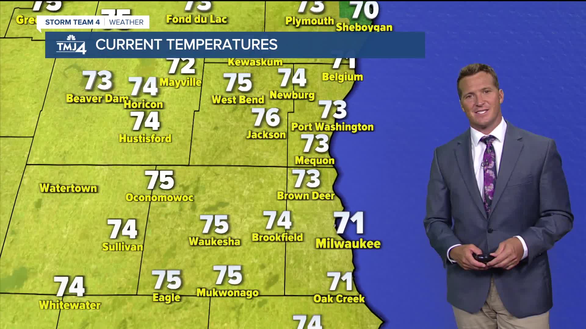
THURSDAY: Mostly Sunny
High: 75
Wind: NE 5-10 mph
FRIDAY: Mostly Sunny
High: 81
SATURDAY: Slight Ch. Shower Early and Breezy.
High: 78
SUNDAY: Partly Cloudy and Breezy
High: 72
It’s about time to watch on your time. Stream local news and weather 24/7 by searching for “TMJ4” on your device.
Available for download on Roku, Apple TV, Amazon Fire TV, and more.
