

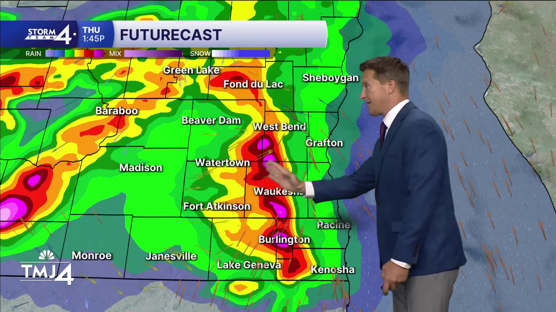


A Severe Thunderstorm Watch is in effect for all of southeast Wisconsin until 7 p.m.
Scattered storms will linger through the night with a low additional severe threat.
Watch: Storm Team 4's severe weather preview:
More severe weather is on the way Thursday afternoon. There is a greater tornado risk on Thursday, along with all other severe weather.
Heavy rain and flooding is also a concern. Much of southeast Wisconsin may pick up over 2" of rain by Friday morning, with significantly higher amounts possible locally.
TONIGHT: Scattered T-Storms. Muggy With Fog
Lows: 68
Wind: SW 10-20 mph
THURSDAY: Partly Cloudy and Breezy
High: 88
Wind: SW TO SE 10 MPH
FRIDAY: Slight Ch. T-Storms Late
High: 82
SATURDAY: Partly Cloudy
High: 74
SUNDAY: Partly Cloudy
High: 76
It’s about time to watch on your time. Stream local news and weather 24/7 by searching for “TMJ4” on your device.
Available for download on Roku, Apple TV, Amazon Fire TV, and more.
