

Most of Southeast Wisconsin collected ½ inch to an inch of rain with the showers this morning. Thankfully, the day wasn't a complete washout. High temperatures were in the mid to upper 70s for most of us.
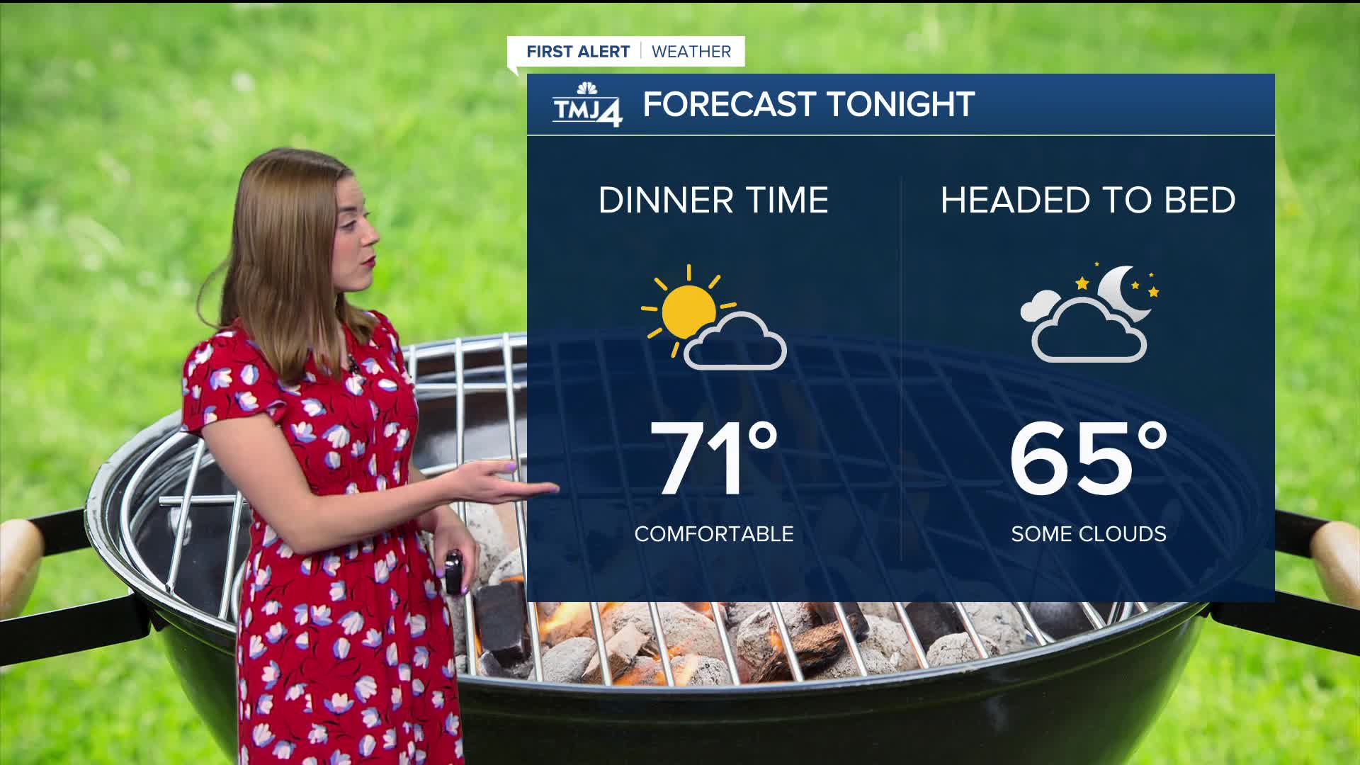
Tonight will be dry with the chance for some patchy fog where the skies clear out overnight. Overnight temperatures will be in the low 60s.
Sunday looks to be the pick day of the weekend with plenty of sun and highs in the upper 70s, though cooler by the lake.
Monday is also looking to be summer-like. We will see highs near 80 degrees, and even warmer away from the lake.
The warm temps will continue through the end of the week, with small chances of rain entering the forecast starting Thursday.
Enjoy the summer weather!
WATCH: Southeast Wisconsin weather: No more rain this weekend
TONIGHT: Partly to mostly cloudy.
Low: 62.
Wind: E 5-10 mph
SUNDAY: Sunny, Warmer Inland
High: 78
Wind: NE 5-10
MONDAY: Mostly Sunny, Warmer Inland
High: 78
TUESDAY: Mostly Sunny
High: 80
WEDNESDAY: Mostly Sunny
High: 82
THURSDAY: Chance showers
High: 78
It’s about time to watch on your time. Stream local news and weather 24/7 by searching for “TMJ4” on your device.
Available for download on Roku, Apple TV, Amazon Fire TV, and more.
