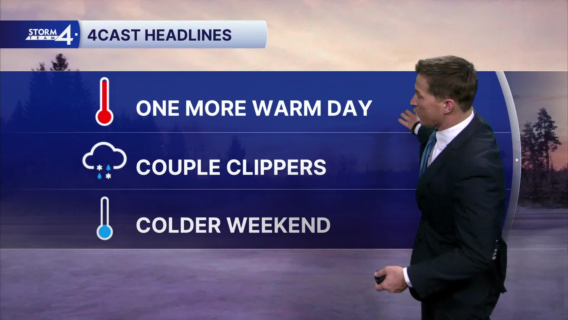


Temperatures soaring into the 40s today quickly melted away the snow from the weekend. A compact area of low pressure tracks to our north tonight. We may get clipped by a few sprinkles, while heavier rain and snow bypass us to the north.
Watch: When we’ll see a mix of rain and snow
We'll make a run at 50 degrees tomorrow, before a cold front drops down from the north. The cold front brings a round of scattered rain and snow showers, followed by more typical January temperatures.
Another clipper brings more snow showers Thursday night and into Friday. Minor snow accumulation is possible.
TONIGHT: Increasing Clouds
Low: 32
Wind: SW 10 mph
TUESDAY: Slight Chance Rain; Partly Cloudy
High: 45
Wind: W 10-20 G25
WEDNESDAY: Chance Snow; Mostly Cloudy & Windy; Falling Temperatures
High: 30
THURSDAY: Mostly Sunny
High: 24
FRIDAY: Chance Snow
High: 31
It’s about time to watch on your time. Stream local news and weather 24/7 by searching for “TMJ4” on your device.
Available for download on Roku, Apple TV, Amazon Fire TV, and more.
