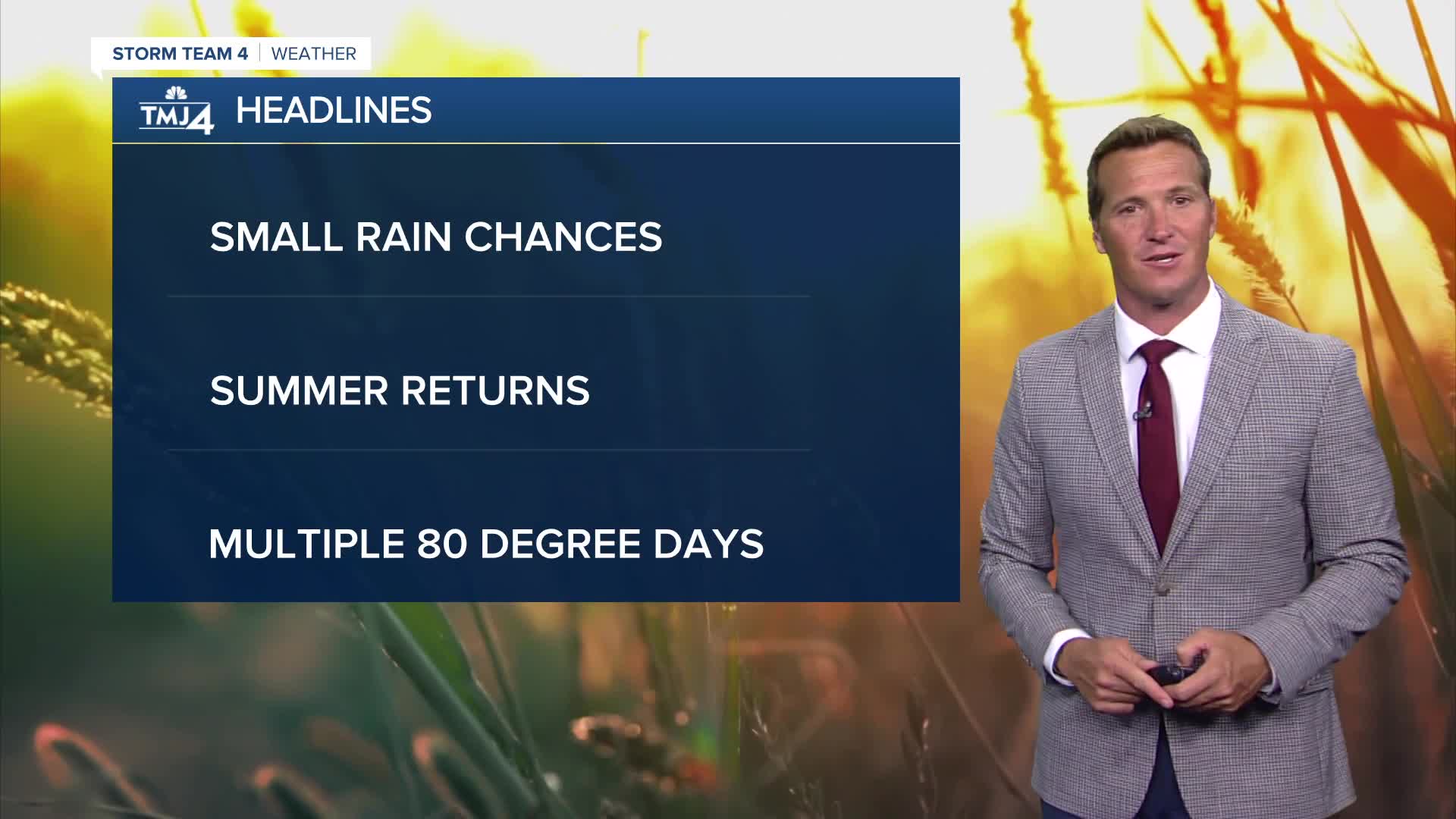


It was another fantastic day across southeast Wisconsin with sunshine and temperatures in the 70s. Clouds increase tonight as a weak frontal system approaches from the west. There is a tiny chance of a sprinkle tonight and a stray light shower tomorrow.
Watch: When we could see some rain
After a couple of weeks of early fall weather, we return to summer weather later this week. We're in line for multiple days in the 80s, especially away from Lake Michigan. It's also going to feel more humid this weekend. A few scattered storms may sweep the area this weekend, but most of the time will be dry.
TONIGHT: Becoming Mostly Cloudy with Isolated Sprinkles
Low: 57
Wind: S 5-10 mph
WEDNESDAY: Partly Cloudy. Slight Ch. Showers
High: 75
Wind: S 5 mph
THURSDAY: Mostly Sunny and Beautiful
High: 72 Lake 77 Inland
FRIDAY: Partly Cloudy and Warm
High: 80 Lake 85 Inland
SATURDAY: Partly Cloudy, Warm, and Humid. Slight Ch. Showers/Storms
High: 82
It’s about time to watch on your time. Stream local news and weather 24/7 by searching for “TMJ4” on your device.
Available for download on Roku, Apple TV, Amazon Fire TV, and more.
