

It was a little bit nicer Sunday compared to Saturday.
Temperatures made it to the 50s and the sun peaked out.
I'm sure you noticed the time change. Our sunset on Sunday was at 4:41 pm. Yikes.
We will see warmer temperatures and more sunshine on Monday. Our forecast highs are in the upper 50s. However, it will be windy.
Westerly winds are around 10-20 mph and gusts to 30 mph.
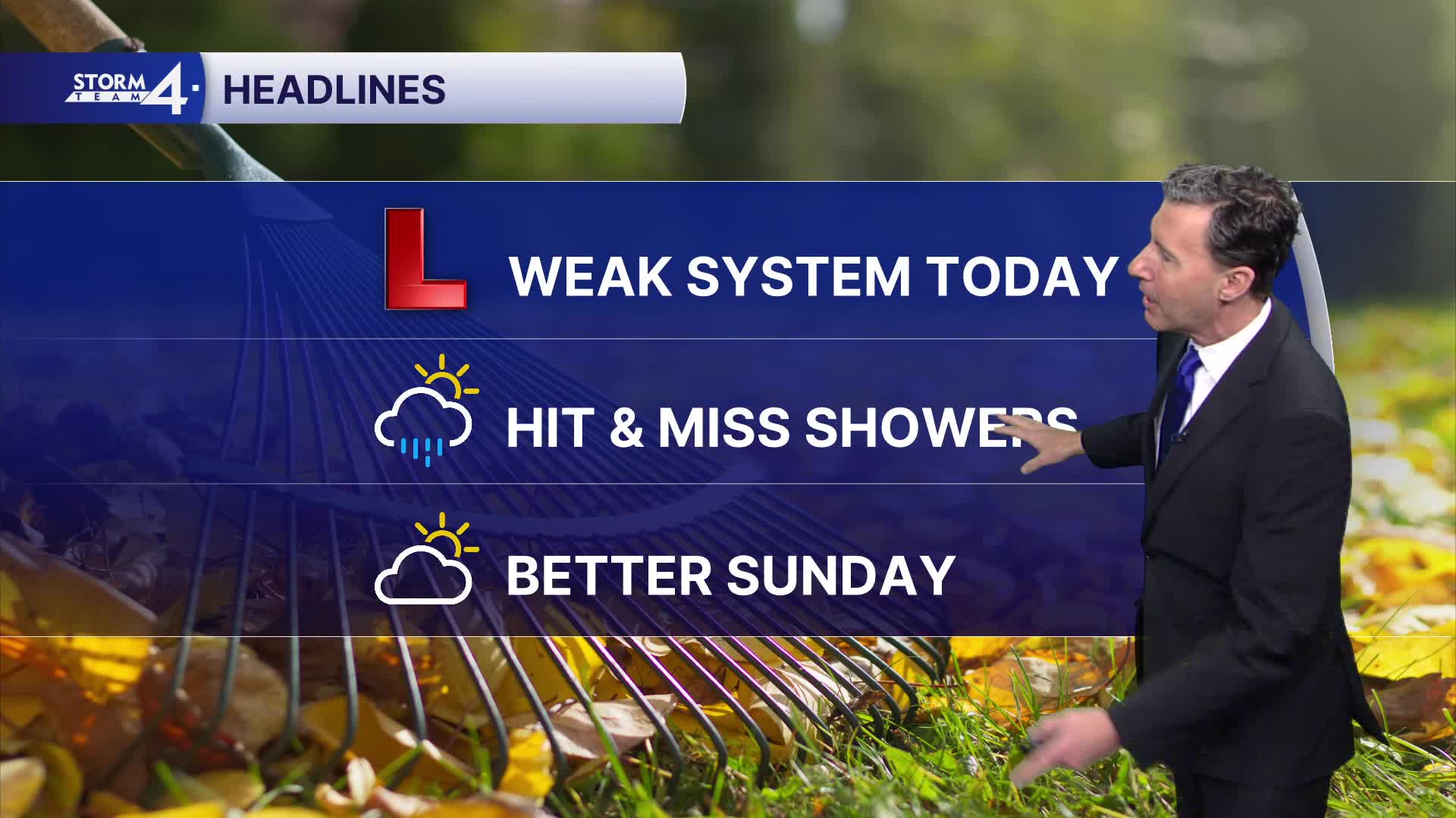
Watch: When we could see scattered showers
Tuesday and Wednesday we can expect highs to reach 60 degrees. There will be some clouds in the sky and less wind.
We bring back some chances of rain by the end of the week and into next weekend. We can also expect cooler temperatures to set in.
SUNDAY NIGHT: Light Rain Showers Possible
Low: 40
Wind: SW 10-20 mph
MONDAY: Mostly Sunny and Windy
High: 59
Wind: W 10-20 mph - gusts to 30 mph
TUESDAY: Partly Cloudy
High: 60
Wind: W 5-15 mph
WEDNESDAY: Partly Cloudy
High: 60
Wind: NW 5-15 mph
THURSDAY: Partly Cloudy
High: 57
FRIDAY: Chance for Rain
High: 54
It’s about time to watch on your time. Stream local news and weather 24/7 by searching for “TMJ4” on your device.
Available for download on Roku, Apple TV, Amazon Fire TV, and more.
