

The heaviest rain has exited Southeast Wisconsin. Most places recorded 6+ inches of rain with this system.
We are seeing record-breaking flooding conditions across Waukesha and Milwaukee Counties. Northern Milwaukee county saw 12 inches of rain. The Flood Watch remains in effect until Monday morning for all counties across SE Wisconsin.
We could see a few showers and storms tonight. Additional rainfall amounts will be less than a half an inch. Our biggest concern is the Fox River in Waukesha. It is forecasted to peak at 10 feet. The record height for this site is 8.8 feet so we don't exactly know what that situation will look like.
Watch: How long flood risks will continue:
There will also be a good chance of a few more showers Monday with highs in the low to mid 80s. Our dew points remain in the upper 60s so expect the humidity to stick around.
It will continue to be warm and humid the rest of this upcoming week. Highs stay in the mid 80s.
Once we get into Wednesday, our rain chances settle down.
TONIGHT: Warm and muggy with scattered thundershowers.
Low: 70
Wind: S 5-15 mph
MONDAY: Partly to mostly cloudy with showers likely.
High: 84
Wind: SW 5-15 mph
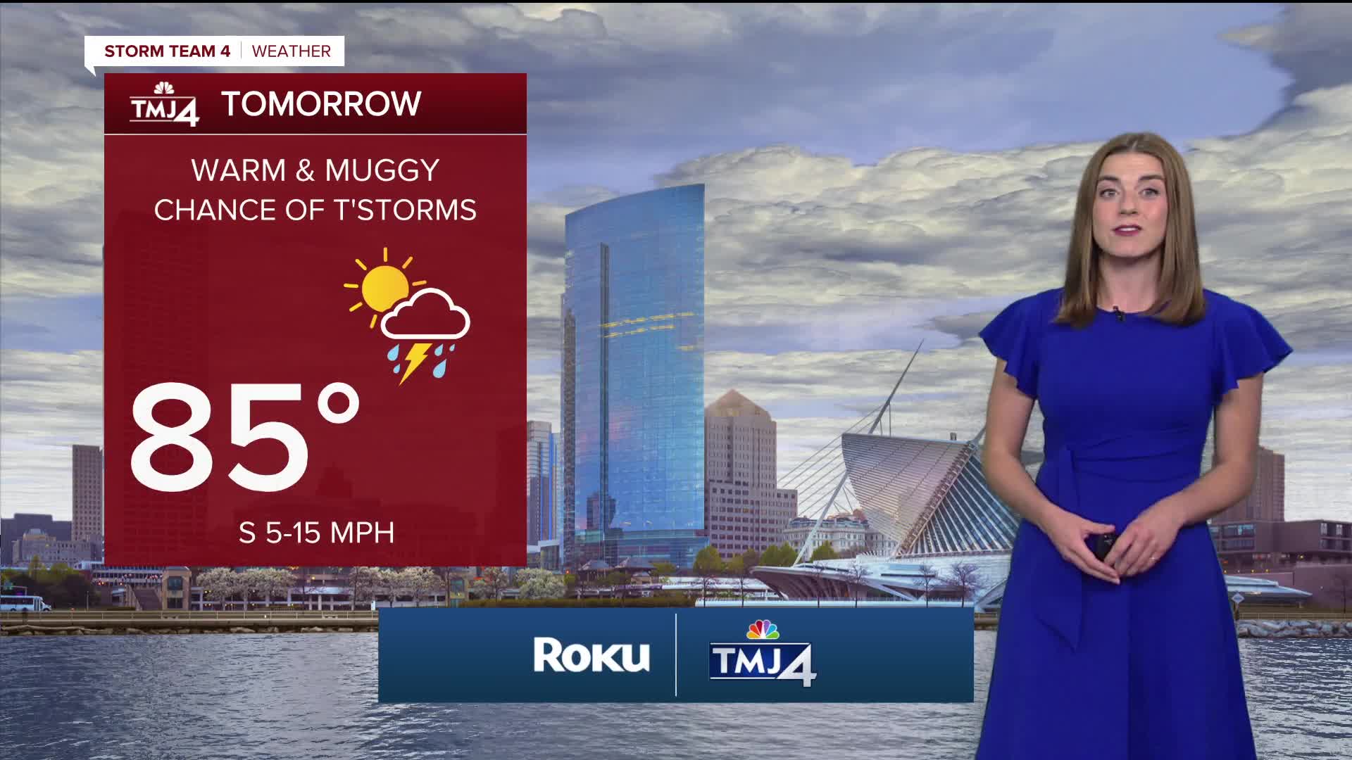
TUESDAY: Partly cloudy, warm and humid with a chance for thunder
High: 85
WED: Mostly Sunny, warm and humid.
High: 82
THUR: Mostly Sunny
High: 80
It’s about time to watch on your time. Stream local news and weather 24/7 by searching for “TMJ4” on your device.
Available for download on Roku, Apple TV, Amazon Fire TV, and more.
