

After near record warmth today, a cold front is on the way this evening. A few scattered light rain showers will likely develop ahead of the front around 10 p.m.
Any rain showers will then change to snow showers after the front passes after midnight. Little or no snow accumulation is expected.
The temperature drops to around 20 degrees by tomorrow morning and holds steady through the day. The wind will make it feel like the single digits.
Watch: When to expect the next round of snow:
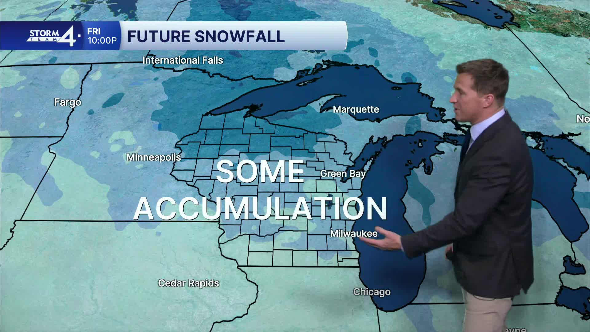
We're watching a strong clipper-type system set to arrive Thursday night and into Friday. This area of low pressure likely moves more slowly than a typical clipper, meaning a potential long-duration light snow event adding up to a few inches.
TUESDAY: Partly Cloudy, Windy, and Mild with Ch. Showers Late
High: 47
Wind: W 10-20 G 30 mph
TONIGHT: Chance Rain, then Snow; Cloudy & Blustery
Low: 23
Wind: W 15-20 G 30 mph
WEDNESDAY: Falling Temperatures; Mostly Cloudy with a chance of snow showers
High: 25
THURSDAY: Partly Cloudy; Chance PM Snow
High: 25
FRIDAY: Chance Snow Showers; Mostly Cloudy
High: 34
SATURDAY: Chance Snow Flurries; Mostly Cloudy
High: 18
It’s about time to watch on your time. Stream local news and weather 24/7 by searching for “TMJ4” on your device.
Available for download on Roku, Apple TV, Amazon Fire TV, and more.
