

It is another fantastic Fall day across southern Wisconsin. As high-pressure moves east, winds turn more southeasterly this afternoon.
Highs will range from the lower to mid-60s. Cloud cover increases overnight as a weak area of low-pressure clips Wisconsin.
A few light showers are possible first thing Friday morning, but many places may stay dry. Lows only drop into the 40s and lower 50s.
Watch: How long the Fall chill lasts
Clouds move out in time for the weekend. Expect plenty of sunshine with highs in the mid-60s to near 70 both days.
The next chance of rain arrives late Sunday night into Monday as a weak cold front drops through the Badger State. Above-average temperatures are expected through mid-next week.
TONIGHT: Partly Cloudy
Low: 50
Wind: S 5-10 mph
FRIDAY: Slight Chance AM Showers; Partly Cloudy
High: 66
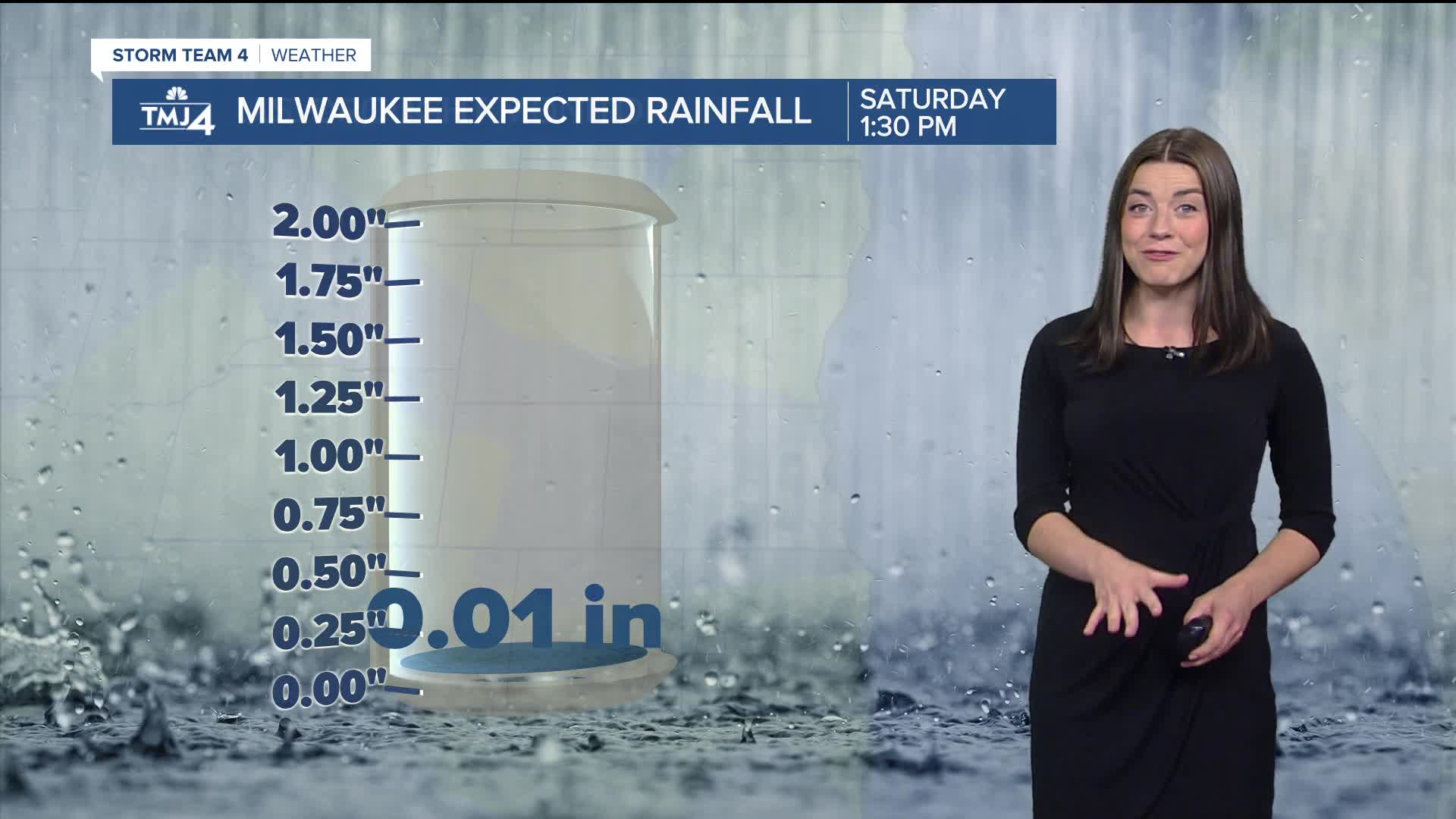
SATURDAY: Mostly Sunny
High: 63
SUNDAY: Mostly Sunny; Chance PM Rain
High: 64
MONDAY: Slight Chance Showers; Partly Sunny
High: 68
TUESDAY: Mostly Sunny
High: 60
It’s about time to watch on your time. Stream local news and weather 24/7 by searching for “TMJ4” on your device.
Available for download on Roku, Apple TV, Amazon Fire TV, and more.
