

A hint of fall remains in the air and we're in for another "cool for August" evening. Overnight temperatures will drop into the 50s near Lake Michigan but 40s are expected again inland.
We'll get a little warmer tomorrow and into Wednesday. Another cold front drops down Wednesday night, bringing a return of showers, followed by cooler temperatures once again.
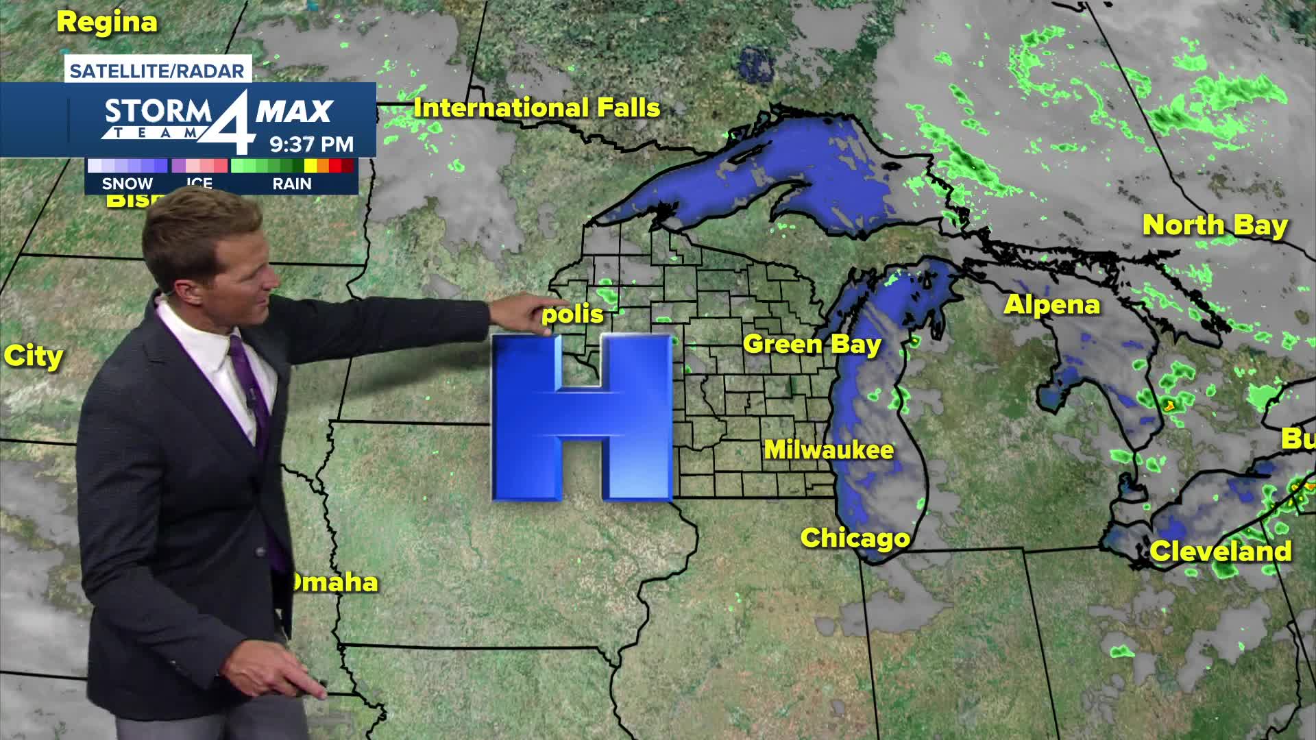
Watch: When we might get our next chance of rain:
The weather looks very nice heading into the Labor Day Holiday Weekend. High pressure is expected to take over and hold strong until Monday, which means most of the weekend should be sunny and dry.
TONIGHT: Mainly Clear and Cool
Low: 54 Lake 47 Inland
Wind: NW 5-10 mph
TUESDAY: Mostly Sunny and Pleasant
High: 71
Wind: W 5-10 mph
WEDNESDAY: Partly Cloudy. Ch. Showers/Storms Late
High: 76
THURSDAY: Ch. Showers Early. Partly Cloudy and cool
High: 68
FRIDAY: Mostly Sunny
High: 70
It’s about time to watch on your time. Stream local news and weather 24/7 by searching for “TMJ4” on your device.
Available for download on Roku, Apple TV, Amazon Fire TV, and more.
