

Gusty cold winds persist into this evening along with a few passing flurries. Under partly cloudy skies, low temperatures fall to around 10 degrees. The wind will make it feel more like 0 to -10. Temperatures rebound back into the mid-20s on Thursday.
Watch extended weather and traffic coverage:
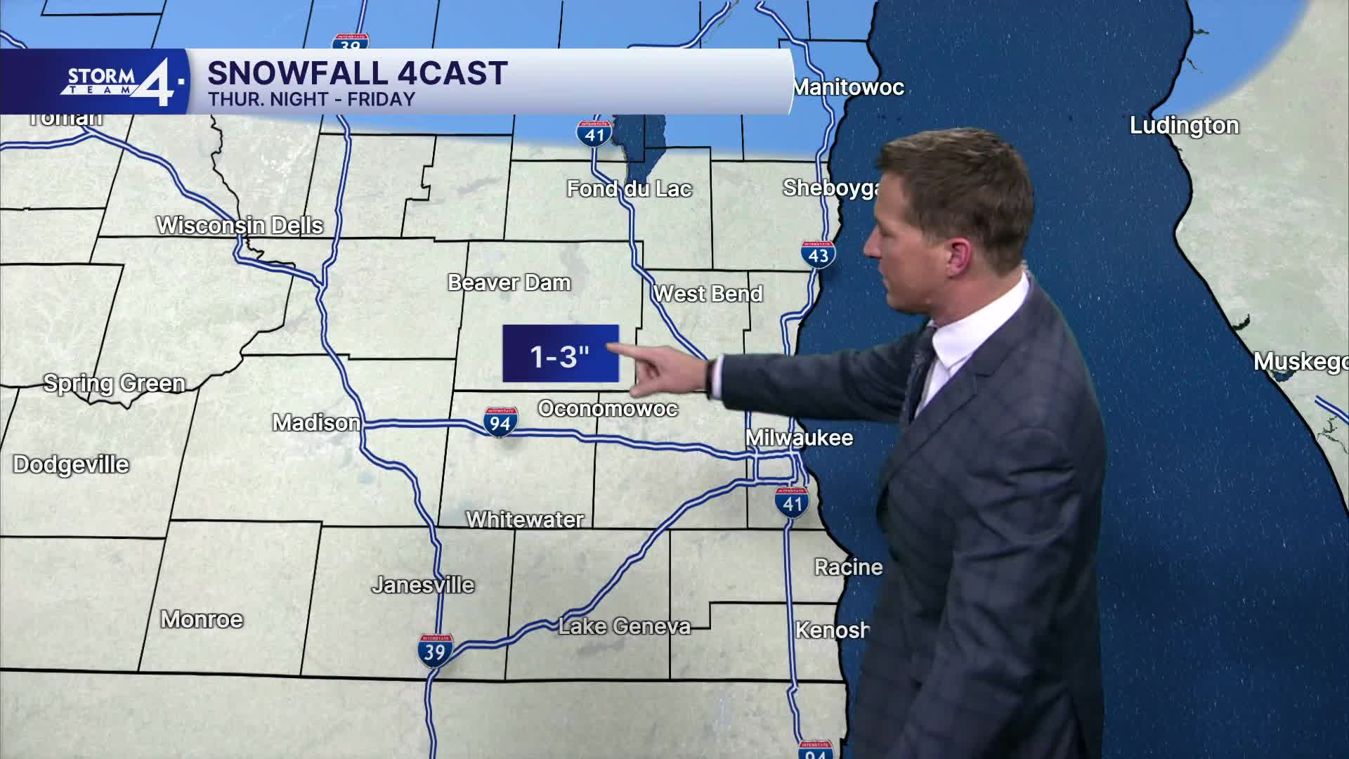
The next Clipper system brings a return of snow by Thursday evening. On and off snow showers then linger Friday and into the weekend. The roads may become slippery at times with total snow adding up to only a couple inches over a long period of time. Another blast of cold settles in for the weekend, followed by even colder air by early next week.
TONIGHT: Flurries early. Partly Cloudy and Windy
Low: 14
Wind: NW 15-25 mph
THURSDAY: Partly Cloudy. Snow Moves In At Night
High: 26
FRIDAY: Mostly Cloudy and Windy. Sct'd Snow Showers. 1-2" Total
High: 34
SATURDAY: Mostly Cloudy & Cold. Sct'd Snow Showers
High: 20
SUNDAY: Mostly Cloudy, Windy, Cold. Sct'd Snow Showers
High: 16
It’s about time to watch on your time. Stream local news and weather 24/7 by searching for “TMJ4” on your device.
Available for download on Roku, Apple TV, Amazon Fire TV, and more.
