

It's been cloudy and somewhat gloomy, but we may end the day with a little bit of sunshine. The humidity is also on the way down.
Tonight's forecast calls for partly cloudy skies and lows around 60 degrees in Milwaukee and 50s inland.
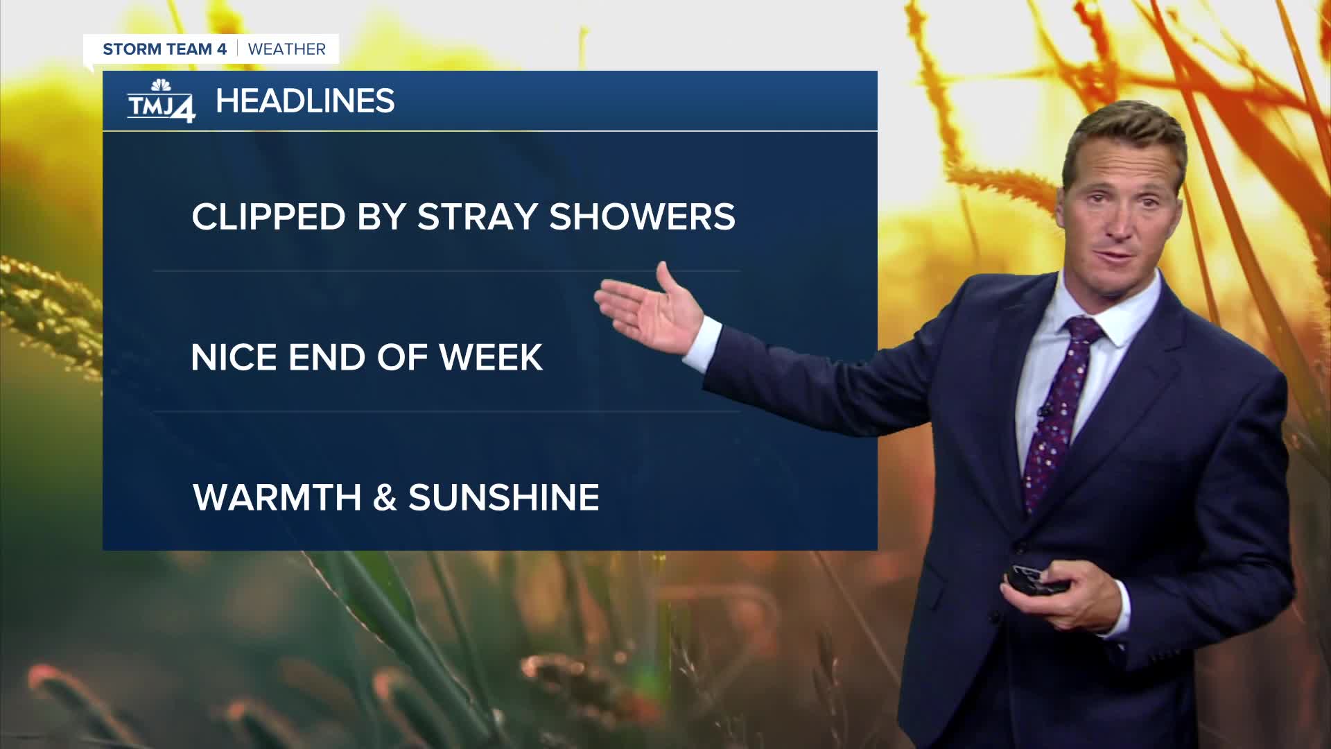
Watch: When the sunshine returns
The next area of low pressure will track to our south over the next couple days. We'll be right on the fringe of this system, with only a 10% chance of a stray light tomorrow and Thursday.
Sunshine and warm temperatures return Friday and right into the weekend!
TONIGHT: Partly Cloudy
Low: 61
Wind: N 10 mph
WEDNESDAY: Partly Cloudy, Breezy, Not As Humid, Slight Ch. Showers
High: 70
Wind: N 10-15 mph
THURSDAY: Partly Cloudy with Slight Ch. Shower
High: 70
FRIDAY: Mostly Sunny and Warm
High: 78
SATURDAY: Sunny and Warm
High: 80
It’s about time to watch on your time. Stream local news and weather 24/7 by searching for “TMJ4” on your device.
Available for download on Roku, Apple TV, Amazon Fire TV, and more.
