

After 80s on Sunday, Sunday's temperatures felt chilly! Many of us only made it to the mid 60s. You probably noticed the waves of thick cloud cover throughout the day. Tonight we will see mostly clear skies with temperatures in the low 50s.
A cooler and mild stretch of weather is expected this week. Our average high temperature is 76 degrees this week. We have plenty of 70s on tap. Monday will be sunny and mild with less wind than we had this weekend. Don't forget sunscreen, as we are just a few days away from the summer solstice.
Scattered showers and a few storms are possible on Tuesday with highs in the 70s. Rain is more likely and widespread on Wednesday. Rain chances continue on Thursday.
WATCH: Will we be seeing more rain this week?
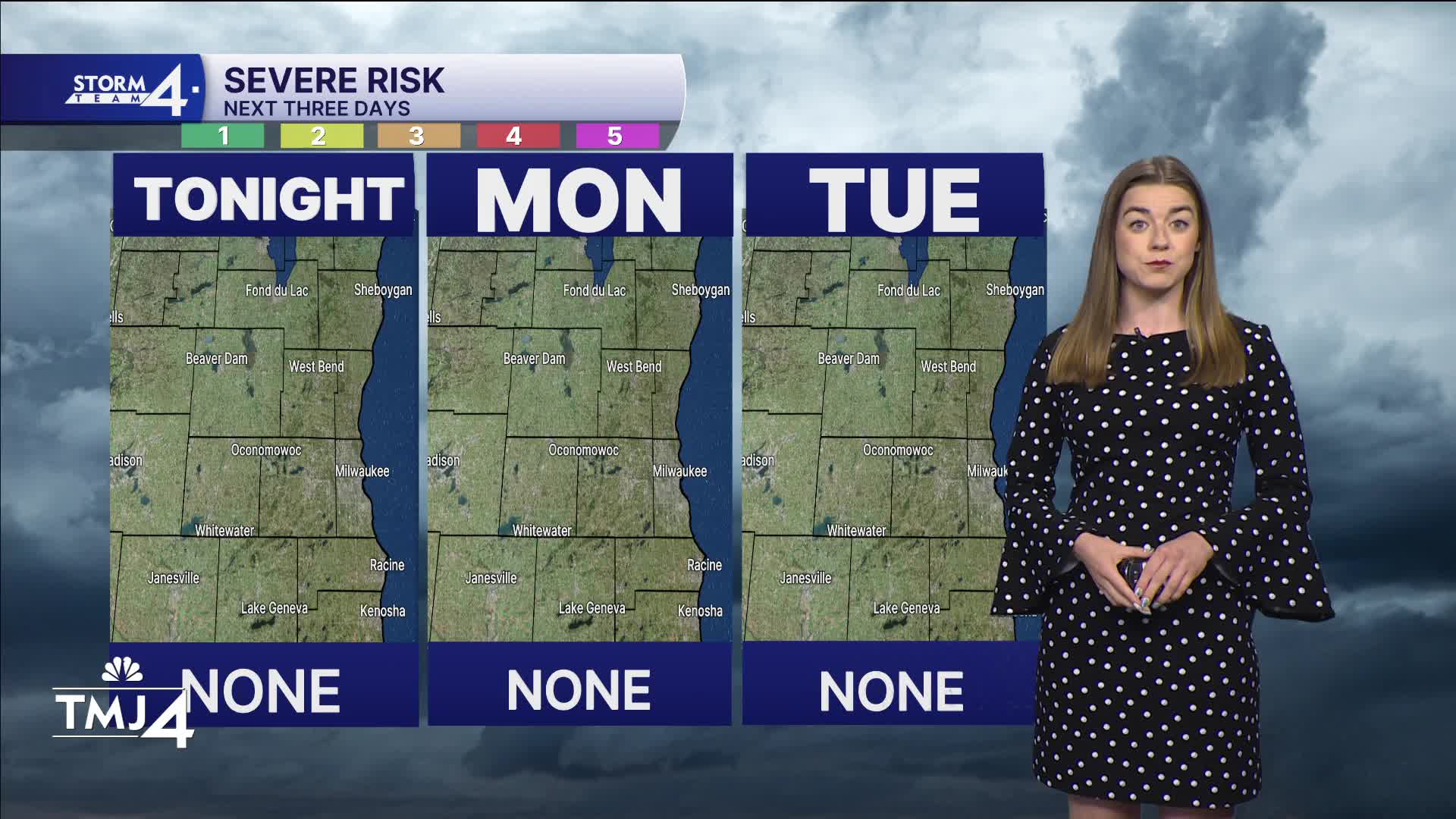
HERE'S YOUR LATEST STORM TEAM WEATHER FORECAST FOR MILWAUKEE
AND SOUTHEASTERN WISCONSIN BY METEOROLOGIST LAUREN LARSEN
TONIGHT: Clear
Lows: 58
Wind: W 5-10 mph
MONDAY: Mostly Sunny
High: 76
Wind: W 5-15 mph
TUESDAY: Partly Cloudy; Chance Showers/Storms
High: 76
Wind: SW 10-15 mph
WEDNESDAY: Showers/Storms Likely
High: 75
THURSDAY: Partly Cloudy
High: 76
FRIDAY: Mostly Sunny
High: 75
It’s about time to watch on your time. Stream local news and weather 24/7 by searching for “TMJ4” on your device.
Available for download on Roku, Apple TV, Amazon Fire TV, and more.
