

Another cold front is passing through after dropping down from Canada. This will bring another shot of fall weather to the upper Midwest. Lows tonight fall into the lower 50s in Milwaukee, while other locations may drop into the 40s.
High temperatures tomorrow will only reach the middle to upper 60s. There is also a small chance our western counties get clipped with a light shower tomorrow.
Watch: When we could see some showers:
The Labor Day weekend is still looking fantastic! You can expect sunny days with highs in the 70s along with cool and comfortable evenings.
We might get close to 80 by Labor Day Monday.
TONIGHT: Partly Cloudy.
Low: 54
Wind: NE 5-10 mph
FRIDAY: Partly Cloudy and Cool with Slight Ch. Shower West
High: 67
Wind N 10 mph
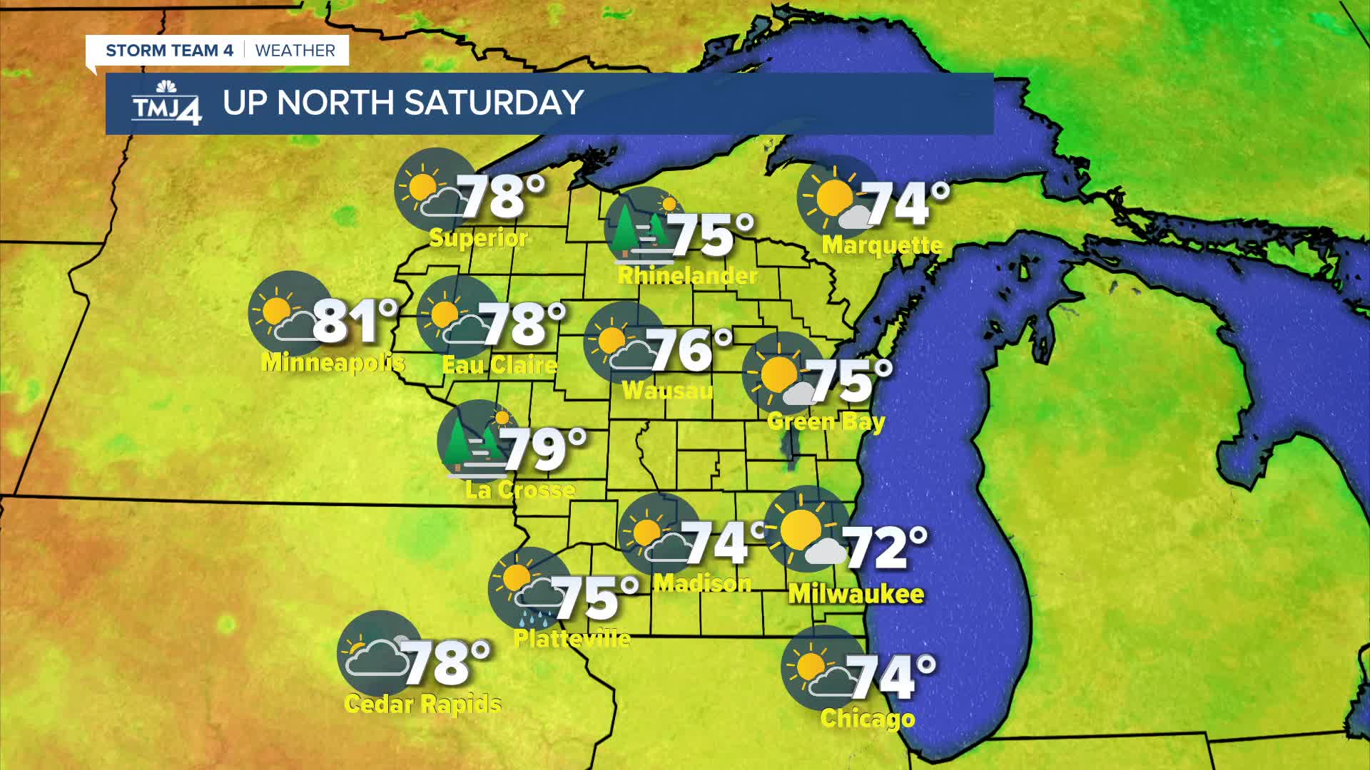
SATURDAY: Mostly Sunny and Beautiful
High: 72
SUNDAY: Sunny And Very Nice
High: 76
MONDAY: Mostly Sunny
High: 78
It’s about time to watch on your time. Stream local news and weather 24/7 by searching for “TMJ4” on your device.
Available for download on Roku, Apple TV, Amazon Fire TV, and more.
