

These spotty showers are starting to end for our NE counties. The rest of the evening features a rogue sprinkle or two, but it's not a big issue. Low 55.
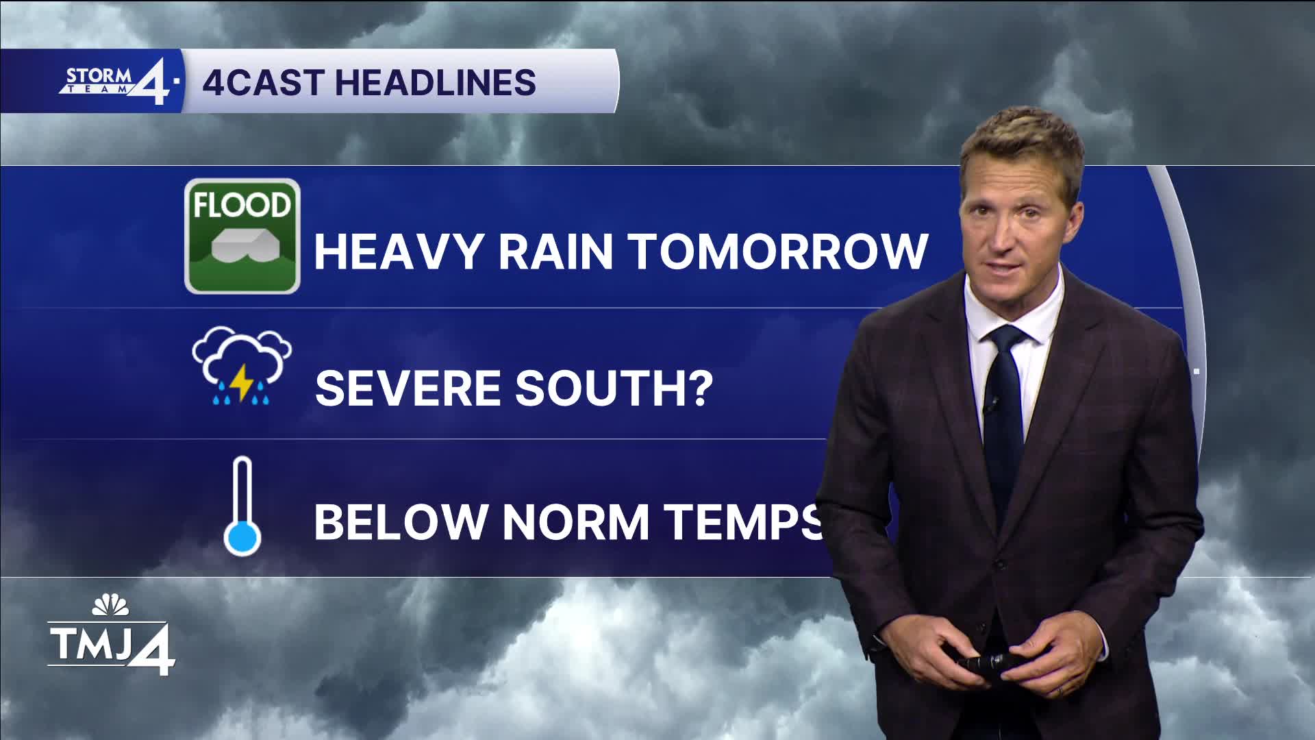
Tomorrow, we are in a 2 out of 5 risk for severe weather.

I think we have a round that starts overnight, then lingers through the AM rush and much of the morning. Then maybe an hour break before round 2.
Round 2 could be strong IF the warm front can make it north of Chicago. Right now, that's a BIG IF. I'd expect winds as the main risks.
Watch: When storms may be back in southeast Wisconsin:
The much-needed rainfall, since we still have drought conditions, will be helpful - about 1-1.5".
Round 2 will exit by 7 p.m. or so, then sporadic spotty stuff overnight. High 68.
It will be mainly smooth sailing the rest of the week with low 70s Thursday, mid-70s Friday, and 78 Saturday.
TONIGHT: A rogue shower or two. Mostly cloudy.
Low: 55
Wind: W 15
WEDNESDAY: Rounds of storms. Some strong in the afternoon.
High: 68
Wind: SE 10-15 G25
THURSDAY: Partly Cloudy. Sl. Ch. Shower or two.
High: 72
FRIDAY: Mostly sunny. Warmer
High: 75
SATURDAY: Slight shower chance. Mainly dry day.
High: 78
It’s about time to watch on your time. Stream local news and weather 24/7 by searching for “TMJ4” on your device.
Available for download on Roku, Apple TV, Amazon Fire TV, and more.
