

Welcome to Meteorological Spring.
We had some light lake effect snow flurries on Sunday; besides that, it was mild and chilly. Our high temperatures stay below normal.
We'll see some sunshine on Monday as our temperatures climb into the upper 30s. This week will be active with a few chances for rain.
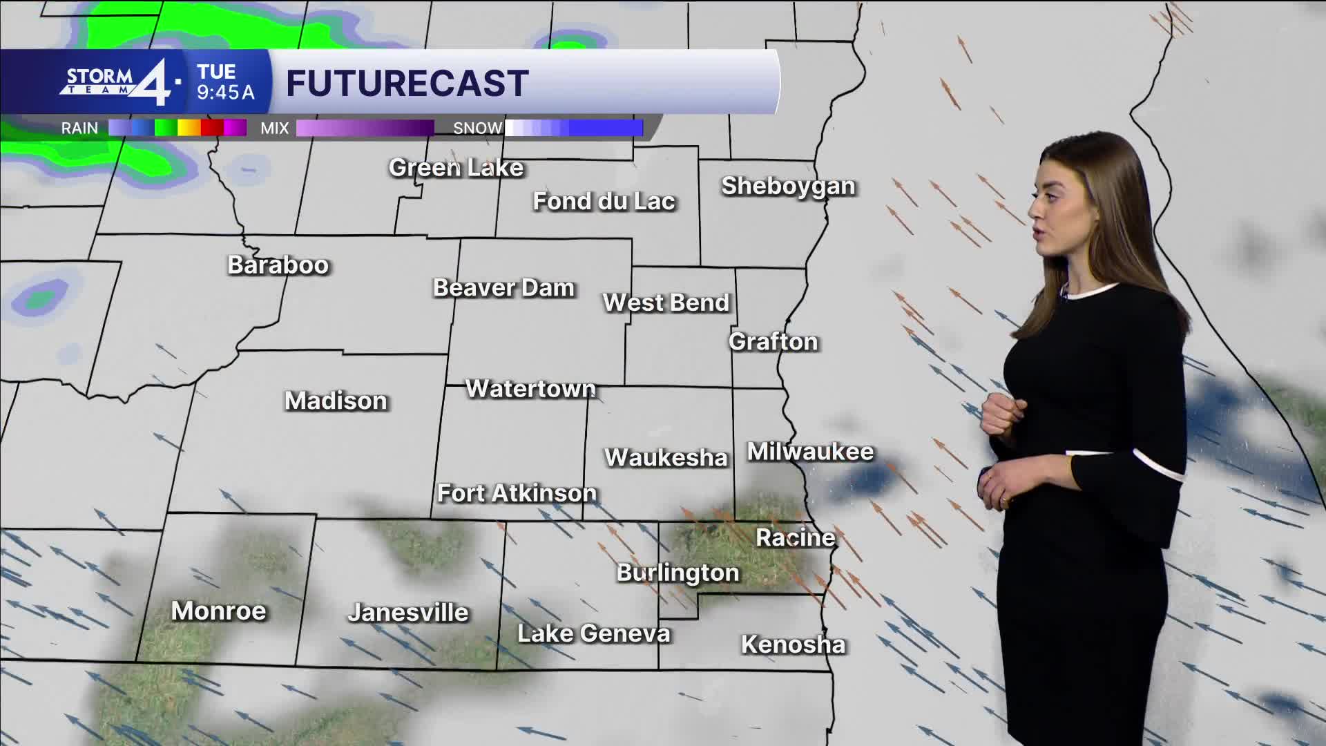
Expect some rain showers on Tuesday morning. Our temperatures stay above freezing; highs will reach 40 degrees.
Watch: After weekend snow, when we can expect to see some spring showers and warmer temperatures.
There is a better chance for widespread precipitation late this week.
An area of low pressure moves towards Wisconsin on Thursday. This will bring rain showers on Thursday, Friday, and Saturday.
Eventually this should clear by Sunday.
These rain showers come with temperatures above normal. Highs reach the upper 40s on Wednesday and Thursday.
We may see 60s by the weekend.
SUNDAY NIGHT: Mostly clear
Lows: 22
Wind: E 5-10 mph
MONDAY: Mostly sunny
High: 38
Wind: S 5-10 mph
TUESDAY: Chance morning precip
High: 40
Wind: SE 5-10 mph
WEDNESDAY: Partly cloudy
High: 45
THURSDAY: Chance rain showers
High: 48
FRIDAY: Rain likely
High: 60
It’s about time to watch on your time. Stream local news and weather 24/7 by searching for “TMJ4” on your device.
Available for download on Roku, Apple TV, Amazon Fire TV, and more.
