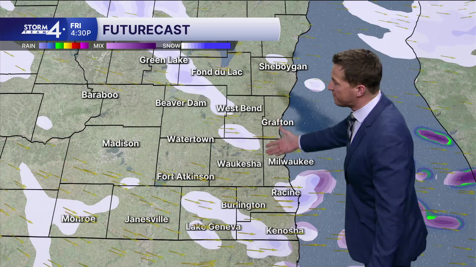


Light snow moves in this evening and continues most of the night. Roads will get slippery.
Some freezing drizzle may also mix in during tomorrow morning's commute. We may see a brief increase in snow intensity during tomorrow morning's commute, then it will become much more scattered the rest of the day.
1-3" of total snow is possible tonight and tomorrow.
Watch: How cold we're expecting it to get this weekend:
As an area of low pressure spins to our northeast, strong wind and snow showers persist through the weekend, with minor additional accumulation possible.
Gusty west winds will gust up to 30 mph, accompanied by a drop in temperatures. Very cold temperatures settle in Sunday night with a wind chill dipping to -25 by Monday morning.
TONIGHT: Snow Likely and Breezy
Lows: 23
Wind: SW 10-20 mph
FRIDAY: Breezy, Early AM Frz. Drizzle and Scattered Snow Showers. Total Snow 1-3"
High: 34
Wind: W 10-20 mph
SATURDAY: Scattered Snow Showers & Windy. Minor Additional Accum.
High: 20
SUNDAY: Scattered Snow Showers & Windy. Minor Additional Accum.
High: 18
MONDAY: Partly cloudy and Very Cold. Ch. Snow Showers Late
High: 8
It’s about time to watch on your time. Stream local news and weather 24/7 by searching for “TMJ4” on your device.
Available for download on Roku, Apple TV, Amazon Fire TV, and more.
