

This past week we have collected three to five inches of rain.
This is more than we usually see in the entire month of April. With plenty of sunshine on Sunday, our highs made it to 50 degrees. Winds gusted above 30 mph Sunday.
Cloudy skies are likely Sunday night, and we have a chance to see a stray shower overnight. Lows fall near freezing.
Watch: Will we see the temperature reach the 50s?
Monday comes with partly cloudy skies and highs in the mid 40s. It won't be as windy as Sunday but still gusty.
A brief front moves through Monday evening, bringing us the chance for a brief snow shower. Lows on Monday fall to the low 20s.
Tuesday will be cold with temperatures in the upper 30s. Skies will be clear.
We have a chance for mixed precipitation on Wednesday.
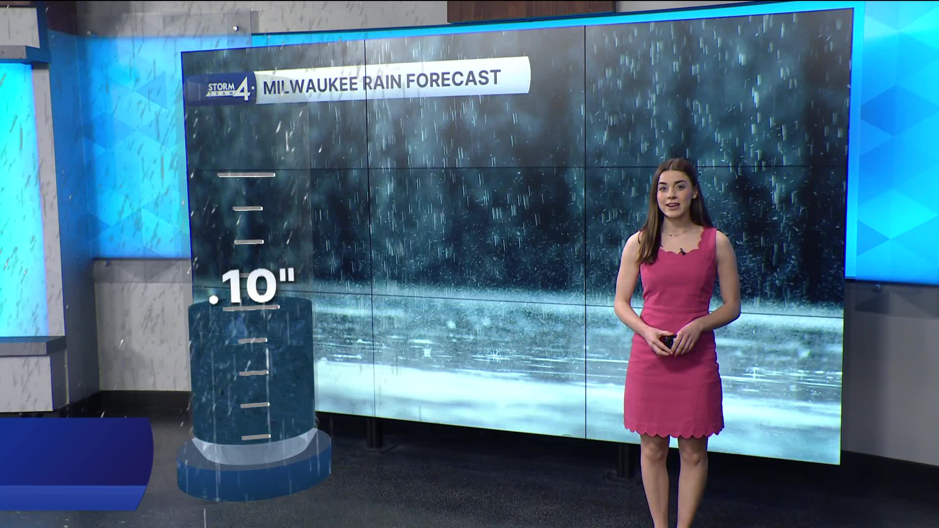
Our best chances for rain are on Friday and into the weekend.
Stay tuned to Storm Team 4 on air and online for the latest weather updates.
SUNDAY NIGHT: Small chance for a small shower
Low: 36
Wind: W 5-15 mph
MONDAY Partly cloudy
High: 46
Wind: N 10-15 mph
TUESDAY: Mostly sunny
High: 37
Wind: SE 5-10 mph
WEDNESDAY: Chance mix
High: 57
THURSDAY: Mostly cloudy, chance showers
High: 60
FRIDAY: Chance showers
High: 52
It’s about time to watch on your time. Stream local news and weather 24/7 by searching for “TMJ4” on your device.
Available for download on Roku, Apple TV, Amazon Fire TV, and more.
