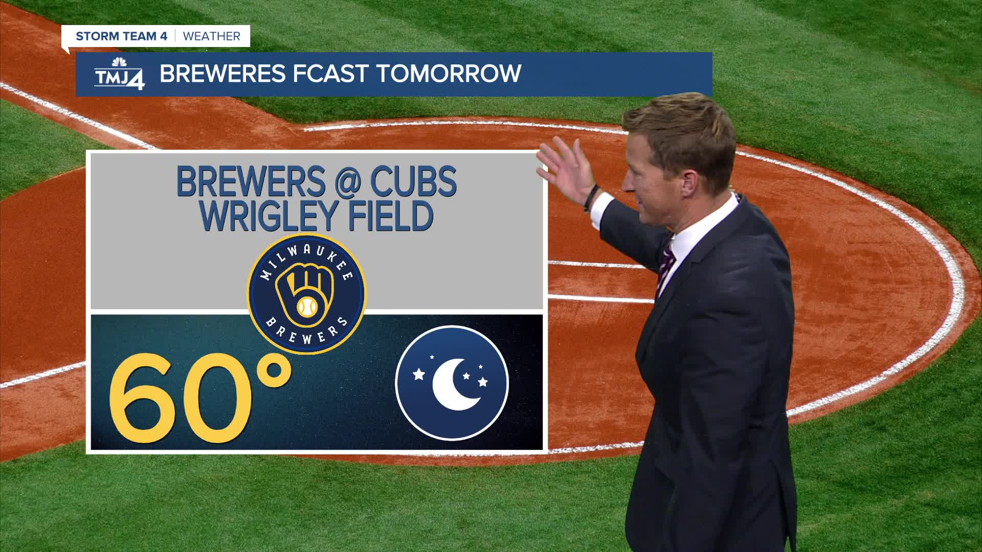


It's been a beautiful afternoon here in southeast Wisconsin and will also be very nice down in Chicago for Brewers versus Cubs.
It's going to be another cool night with temperatures in the 40s, but just like last night, there may be some spots well inland dipping into the 30s. Your flowers and tomato plants should be safe.
Watch: When we could see another warm-up ahead
We're watching a weak area of low pressure that will clip the area Thursday night into early Friday morning. We put a small chance for a shower in the 4cast.
The weekend is still looking very nice to head out to a pumpkin patch.
TONIGHT: Mainly Clear
Low: 48
Wind: NE 5 mph
THURSDAY: Sunny and Pleasant
High: 64
Wind: NE 5 mph
FRIDAY: Ch. showers Early. Bec. Partly Cloudy
High: 67
SATURDAY: Mostly Sunny
High: 64
SUNDAY: Partly Cloudy. Ch. Showers AT Night
High: 65
It’s about time to watch on your time. Stream local news and weather 24/7 by searching for “TMJ4” on your device.
Available for download on Roku, Apple TV, Amazon Fire TV, and more.
