

Cold continues to plague the Great Lakes, and we're in for another very cold night tonight. Low temperatures likely dip to around zero or below tonight, and the wind chill may fall as low as -15 by tomorrow morning. Another cold but sunny day is on the way tomorrow.
Watch: When we could see a chance of lake-effect snow later this week
We're watching the potential for some Lake Effect snow on Friday. The best chance for Lake effect snow will be around midday from Milwaukee to Kenosha.
As of right now, we're going with 1-3" of snow possible along the lake but stay updated with the forecast for any changes. As always, when it comes to lake snow, significantly higher amounts are possible if the lake band parks itself in the same spot.
HERE'S YOUR LATEST STORM TEAM WEATHER FORECAST FOR MILWAUKEE
AND SOUTHEASTERN WISCONSIN BY METEOROLOGIST BRIAN NIZNANSKY.
TONIGHT: Mainly Clear and Very Cold
Low: 0 Lake -5 Inland. WC: -5 to -15
Wind: NW 5-10 mph
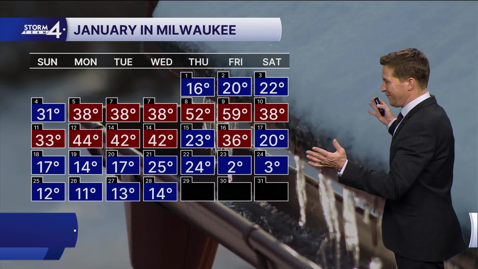
THURSDAY: Mostly Sunny and Cold.
High: 14
FRIDAY: Partly Cloudy, Cold, with Ch. Lake Effect Snow. 1-3" Possible
High: 14
SATURDAY: Mostly Sunny
High: 22
SUNDAY: Mostly Sunny
High: 25
It’s about time to watch on your time. Stream local news and weather 24/7 by searching for “TMJ4” on your device.
Available for download on Roku, Apple TV, Amazon Fire TV, and more.
