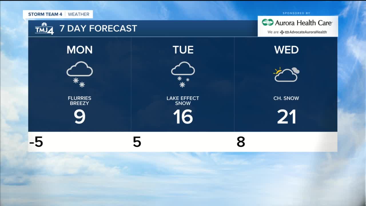


Monday morning will be very cold, and a Wind Chill Advisory will remain in place through Noon. Monday afternoon highs will get to near 10°, but gusty winds will make it feel like -10 to -20°. A few light snow showers are possible in the afternoon, with some lake-effect snow developing Monday evening into Monday night. We will look for a few inches of accumulating snow for our lakeshore counties, with little to no snow inland.
Lake-effect snow looks to continue on and off into Tuesday. Highs Tuesday are back in the teens. Wednesday through Friday highs are back in the 20s with at least a slight chance for snow each day.
***WIND CHILL ADVISORY IS IN EFFECT UNTIL NOON MONDAY. WIND CHILLS WILL RANGE FROM -20 TO -30° SUNDAY NIGHT AND MONDAY MORNING. FROSTBITE CAN HAPPEN ON EXPOSED SKIN IN LESS THAN 10 MINUTES. USE CAUTION AND BUNDLE UP BEFORE HEADING OUTDOORS.***
MONDAY: Mostly cloudy with scattered snow, then lake-effect snow Monday night
High: 9, WC: -20 to -10
Wind: N/NE 10-15 G 25 mph
TUESDAY: Cloudy with lake-effect snow showers
High: 16
WEDNESDAY: Mainly cloudy, ch. snow
High: 21
THURSDAY: Cloudy, ch. snow
High: 24
FRIDAY: Partly cloudy, slight ch. snowHigh: 20
