

*****Winter Weather Advisory from 5:52 PM to 11 p.m. Wednesday for Racine, Kenosha and Walworth counties.*****
Before the extreme cold arrives, we have one more round of snow this evening. Snow will spread across SE Wisconsin after 5 p.m., and roads will become slippery.
The snow wraps up by around 10 p.m., and around 1" of accumulation is expected.
The wind also ramps back up this evening, and blowing snow is likely, especially in the countryside.
Watch: When temps fall into the single digits
The coldest air of the season arrives Thursday evening. The blast of arctic air quickly drops down from Canada and sweeps across the Great Lakes.
By Friday morning, low temperatures will be around -15 with a wind chill as low as -45, as a northwest wind howls up to 40 mph. This is dangerously cold, and everyone—including pets—should be limiting their time outdoors.
HERE'S YOUR LATEST STORM TEAM WEATHER FORECAST FOR MILWAUKEE
AND SOUTHEASTERN WISCONSIN BY METEOROLOGIST BRIAN NIZNANSKY.
TONIGHT: Snow Early and Windy. Around 1" Then Blowing Snow
Low: 10
Wind: W 10-20 mph
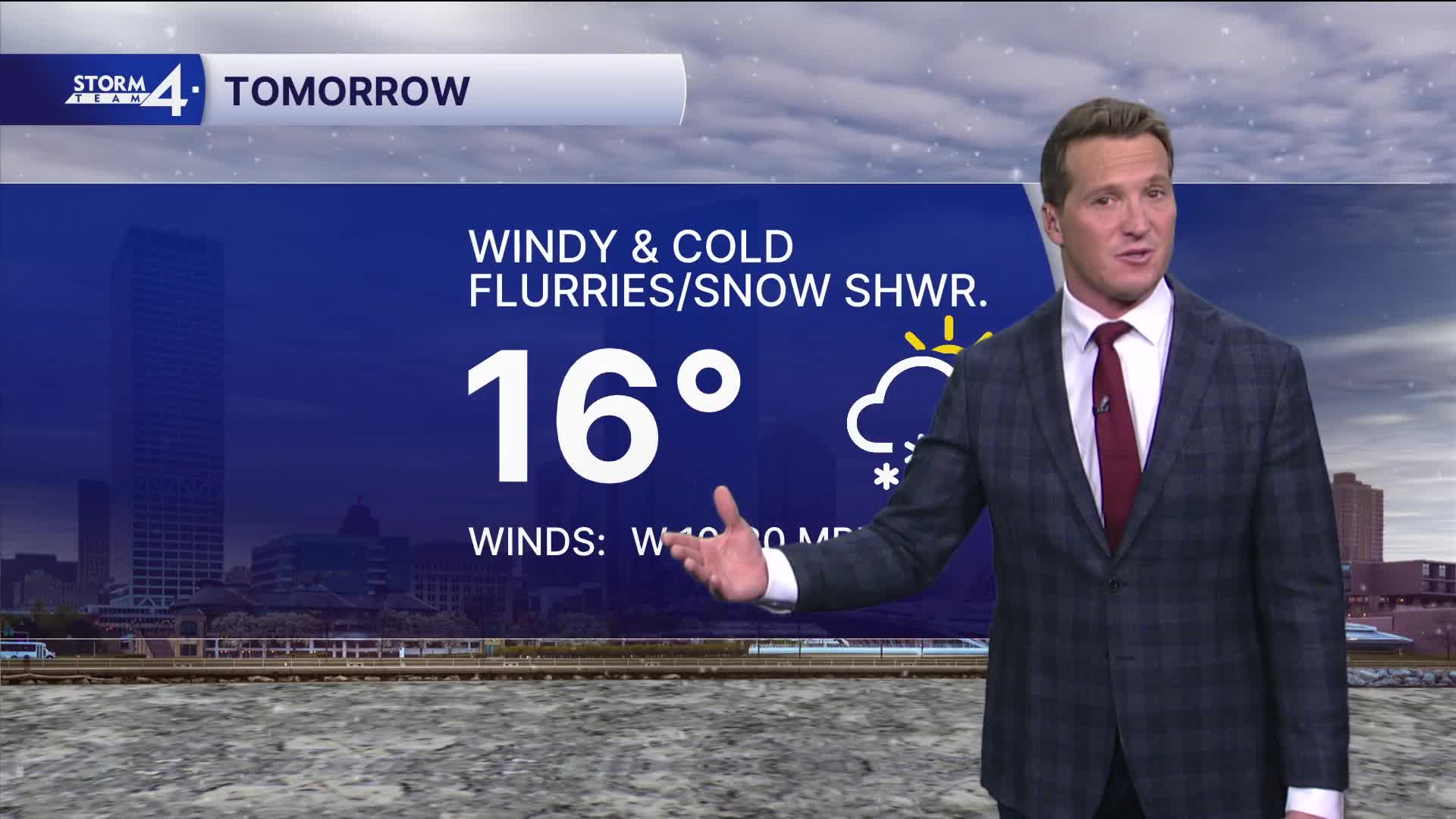
THURSDAY: Partly Cloudy, Windy, and Cold. Ch. Show Showers.
High: 16, Wind Chill 0 to -15
FRIDAY: M. Sunny, Windy, and Bitter Cold
High: -5, Wind Chill: -45 to -30
SATURDAY: Mostly Sunny, Still Very Cold
High: 6, Wind Chill: -25 to -10
SUNDAY: Mostly Cloudy with Slight Ch. Snow
High: 15
It’s about time to watch on your time. Stream local news and weather 24/7 by searching for “TMJ4” on your device.
Available for download on Roku, Apple TV, Amazon Fire TV, and more.
