

MILWAUKEE — One of the largest collections of maps on earth is in Milwaukee. With about 2 million different items, the American Geographical Society Library (AGSL) at UW-Milwaukee is a world-renowned repository that attracts visitors and researchers from across the world.
The library has everything from nautical maps to political maps to fantasy maps to road maps to historic maps to monster maps to racial maps to shipwreck maps and everything in between. One map that shows where folklore monsters can be found identifies where to find Bigfoot and the creature Freak Daddy. (The Freak Daddy is in the northern part of South America.) There's also everyone's favorite map titled "To Comprehend Aggressive Attempts of the Soviet Communists through a glimpse on their plot on Railroad Construction on China's Mainland."

Ultimately, the goal is to preserve maps for historical and educational purposes.
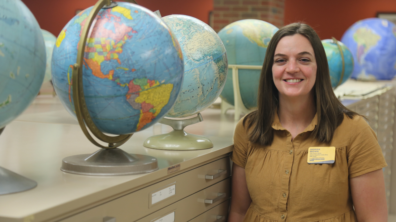
"So I love to see what's on a map, and who thought it was important enough to put this here, and why they chose color schemes," Georgia Brown, the Public Services Librarian and Interim AGSL Curator, said.
Brown will lead tours through the collection as well as assist researchers with their work. Previous scholars have traveled from Italy and Uzbekistan to reference the materials at the AGSL.
"I never get asked the same question twice, and even if it is the same question twice, it's never about the same place," Brown said.
Watch the story to see more maps inside the American Geographical Society Library...
The library shows how maps have changed over time. While we often think about them as an exact science, for thousands of years, maps have had errors, whether intetionally or by accident.
“Mountains, rivers, streams, where people thought they were, where they have changed over time," a library intern and UWM student, Catie Mendivil, said.
As we learn more about our surroundings, we can depict them better. Populations may move, altering the demographic of an area, thus making an ethnographic map change. Or, a city might expand, creating new roads and routes for travel. Those are examples of how a map might be correct at one point but become defunct in the future.
However, there are many times where maps have been made for nefarious or selfish purposes. For instance, an explorer who tried to reach the North Pole failed in his mission. To avoid coming back empty-handed and risk losing funding for future expeditions, the explorer made up an island and named it after his benefactor.

“So it is possible that he saw something. It is possible that he just made it up," Mindivel said.
The most prized possession in the collection is the Leardo Mappamundi from 1492. It depicts the world as the Europeans knew it and was created by the Venetian cartographer Giovanni Leardo. The map recently underwent a restoration in an effort called the Lazarus Project.
“An interesting thing about it is that east is at the top because it was considered the most holy direction," Brown said.
The reason this collection is at UWM is a bit of happenstance.
In 1851, a group of New Yorkers created the American Geographical Society. In the 1970s, the group had to sell its building and collection. Thanks to advocates from UWM, the collection came to the school in 1978 and opened to the public in 1981.
"Theres so many stories you can tell through maps and geography in general," Jayne Kilander, a library intern and UWM student, said.

To properly understand a map, it's important to consider who made it, why they made it, who the intended user is, and what kind of language they chose. It can be as trivial as a point of interest map made by different companies with different ideas on what is worthwhile to visit. Or, perhaps it's to influence users to feel a certain way about a region or group of people.
“Important to study maps like this though, because it helps us understand how people were making sense of the city around them as it’s evolving," Kilander said.
Despite having around 2 million geographic items, the AGSL is still expanding its collection. The library is also working on digitizing its maps.
The collection is open to the public and is completely free. You can visit Monday-Friday from 9 am to 4:30 pm.
It’s about time to watch on your time. Stream local news and weather 24/7 by searching for “TMJ4” on your device.
Available for download on Roku, Apple TV, Amazon Fire TV, and more.
