



It's been a fantastic summer day, and we'll keep it rolling tomorrow! Along with continued sunshine, it will be a little warmer tomorrow with high temperatures climbing into the 80s. It'll also feel a little more humid with dew points creeping back into the 60s.
WATCH: When the heat and humidity return
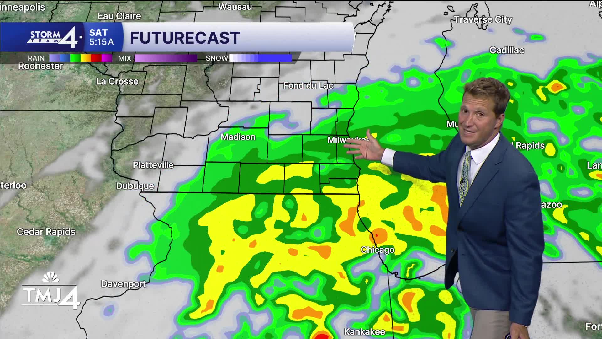
The start to the upcoming weekend looks wet. Rain is likely by Friday evening and likely continues at least into Saturday morning. There may be a few rumbles of thunder, but no severe weather is expected. Up to .50" of rain is possible.
WEDNESDAY: Mostly Sunny & Less Humid
High: 80
Wind: NE 5 mph
TONIGHT: Mostly Clear
Low: 64
Wind: E 5 mph
THURSDAY: Partly Cloudy; Warm & Humid
High: 86
Wind: S 5-10 mph
FRIDAY: Scattered Showers Likely; Cloudy
High: 80
SATURDAY: Early Showers; Mostly Cloudy
High: 75
SUNDAY: Mostly Sunny
High: 75
It’s about time to watch on your time. Stream local news and weather 24/7 by searching for “TMJ4” on your device.
Available for download on Roku, Apple TV, Amazon Fire TV, and more.
