

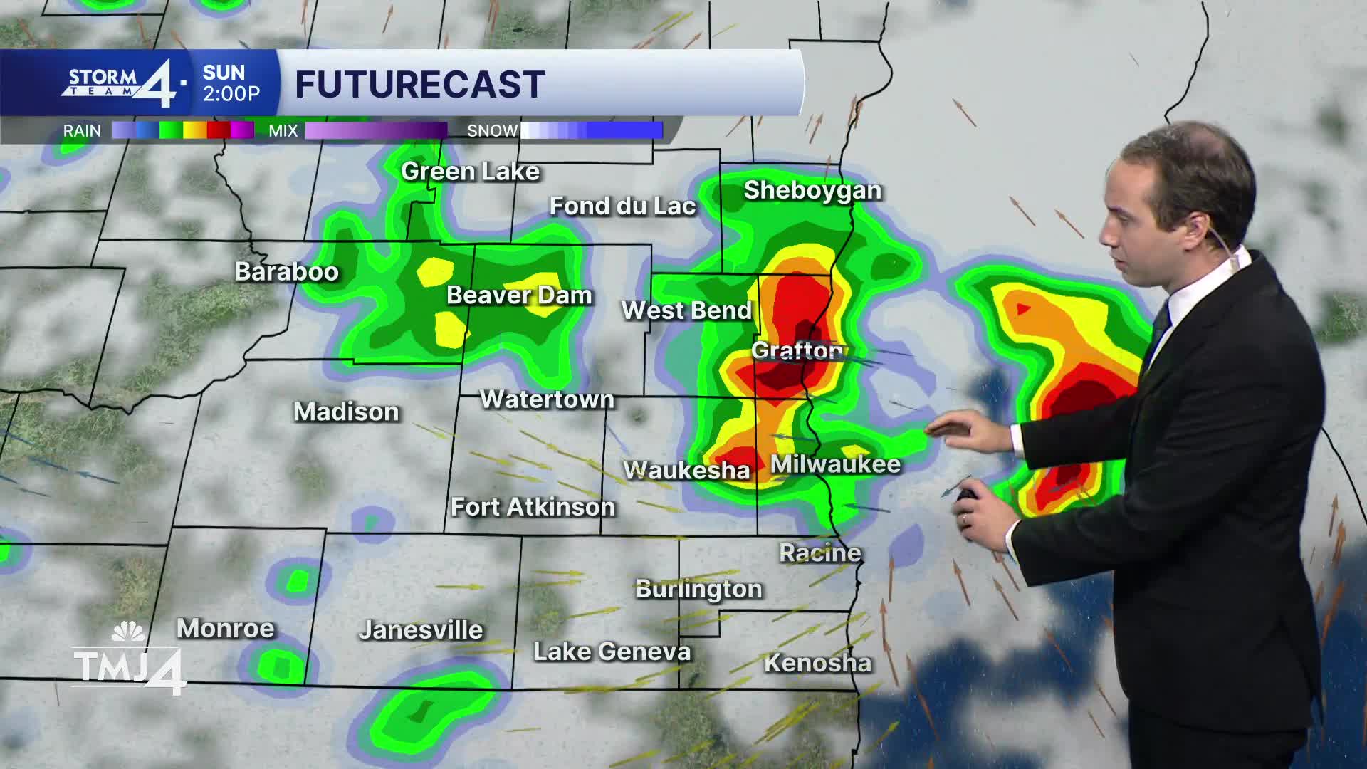


A few on and off thunderstorms are expected this afternoon. This looks to impact most if not all of the area as the storms move in from the west. After that clears out, we could see a few more showers and storms in the evening and early tonight, especially for areas south of Milwaukee. There is a chance for severe weather with the storms today. The most likely hazard will be strong winds, with a very low risk of tornadoes or hail. Flooding could be a concern for areas that see multiple rounds of thunderstorms.
Monday could see storms as well, although it doesn't appear to be as likely. However, there is still a small severe weather risk if we do see some storms pop-up. The best chance for storms will be for areas south of Milwaukee.
Tuesday has rain back in the forecast as we continue an active pattern, but rainfall Tuesday may be in the form of just showers rather than storms.
As far as temperatures, we'll see highs around 80-degrees through Wednesday, with cooler air (highs in the lower 70s) by weeks end.
It’s about time to watch on your time. Stream local news and weather 24/7 by searching for “TMJ4” on your device.
Available for download on Roku, Apple TV, Amazon Fire TV, and more.
