

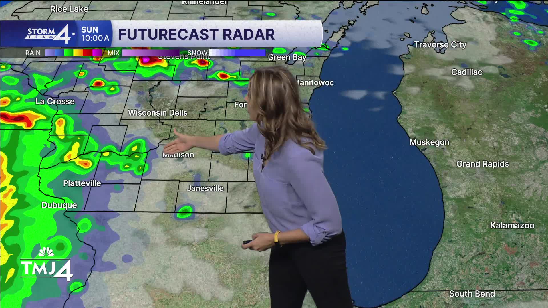


Sunday features rounds of storms through the day, likely starting midday and another batch in the evening. Some of these storms could be on the strong side - especially near the state line where the energy will be focused. While Chicago is in the bullseye for that, southeast Wisconsin hazards include flooding potential with any repeat storms, gusty winds, and downpours. Highs will be near 80 with much higher humidity than Saturday.
Monday could see storms as well, but it's all dependent on what occurs on Sunday, so stay tuned for updates on timing and impacts. Highs near 80 with high humidity.
Tuesday has storms back in the forecast as we continue an active pattern.
TONIGHT: Increasing humidity and cloud cover.
Low: 65
Wind: SW 5-10
SUNDAY: Rounds of storms possible midday and evening. Some strong near the state line. Watch for flooding potential with repeat storms.
High: 81
Wind: SW 10-15
MONDAY : Mostly cloudy with a chance of storms.
High: 80
Wind: N to E 5-10
TUESDAY: Mostly clouds with storms likely.
High: 78
Wind: NE 5-10
WEDNESDAY: Partly Cloudy.
High: 78
THURSDAY: Mostly cloudy and cooler.
High: 74
FRIDAY: Mostly Cloudy and less humid.
High: 72
It’s about time to watch on your time. Stream local news and weather 24/7 by searching for “TMJ4” on your device.
Available for download on Roku, Apple TV, Amazon Fire TV, and more.
