

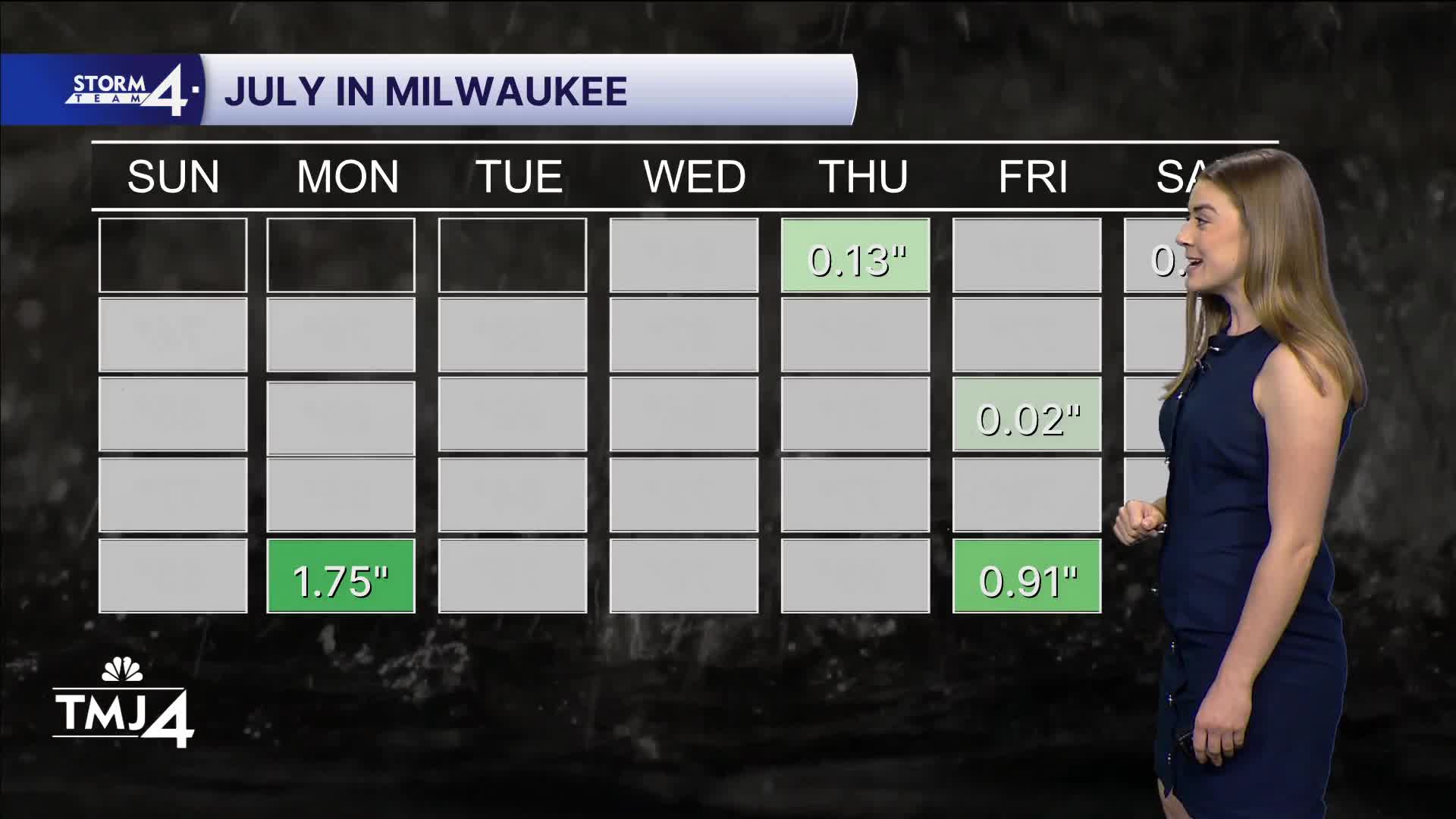


Friday & Saturday's rain event brought 2-6 inches across Southeast Wisconsin. Thank you to everyone who shared those impressive rainfall totals with us! Sunday turned into a pretty nice day. Our highs stayed below normal, in the mid to upper 70s for most of us. Tonight is clear and breezy with lows falling near 60 degrees.
Monday looks fantastic with highs in the upper 70s and plenty of sun.
A cold front passes through Tuesday evening. This will bring our next round of rain showers. We could see a few storms on Wednesday as well.
Still a few days out, but fingers crossed that next weekend is dry!
WATCH: What will this week's weather look like?
HERE'S YOUR LATEST STORM TEAM WEATHER FORECAST FOR MILWAUKEE
AND SOUTHEASTERN WISCONSIN BY METEOROLOGIST LAUREN LARSEN
TONIGHT: Mostly Clear
Low: 60
Wind: N 10-15 mph
MONDAY: Mostly Sunny
High: 78
Wind: E 5 mph
TUESDAY: Mostly Sunny and Warmer
High: 83
Wind: S 5-10 mph
WEDNESDAY: Rain Likely, Storms Possible
High: 80
THURSDAY: Partly Cloudy, Chance for Rain
High: 80
FRIDAY: Mostly Sunny
High: 80
It’s about time to watch on your time. Stream local news and weather 24/7 by searching for “TMJ4” on your device.
Available for download on Roku, Apple TV, Amazon Fire TV, and more.
