

We had some downpours today, but most locations picked up less than 1/4" of rain. Our focus will change from light rain and fog to wind, snow showers, and crashing temperatures.
With the wet pavement and standing water from today's rain and melting snow, we may experience a flash freeze. A few intense snow showers are possible, but they'll likely stay below snow squall criteria.
Watch: How cold will it get?
Only up to a half inch of snow is possible. With all the elements, keep your speed down when traveling tonight. Temperatures will fall into the teens by tomorrow morning.
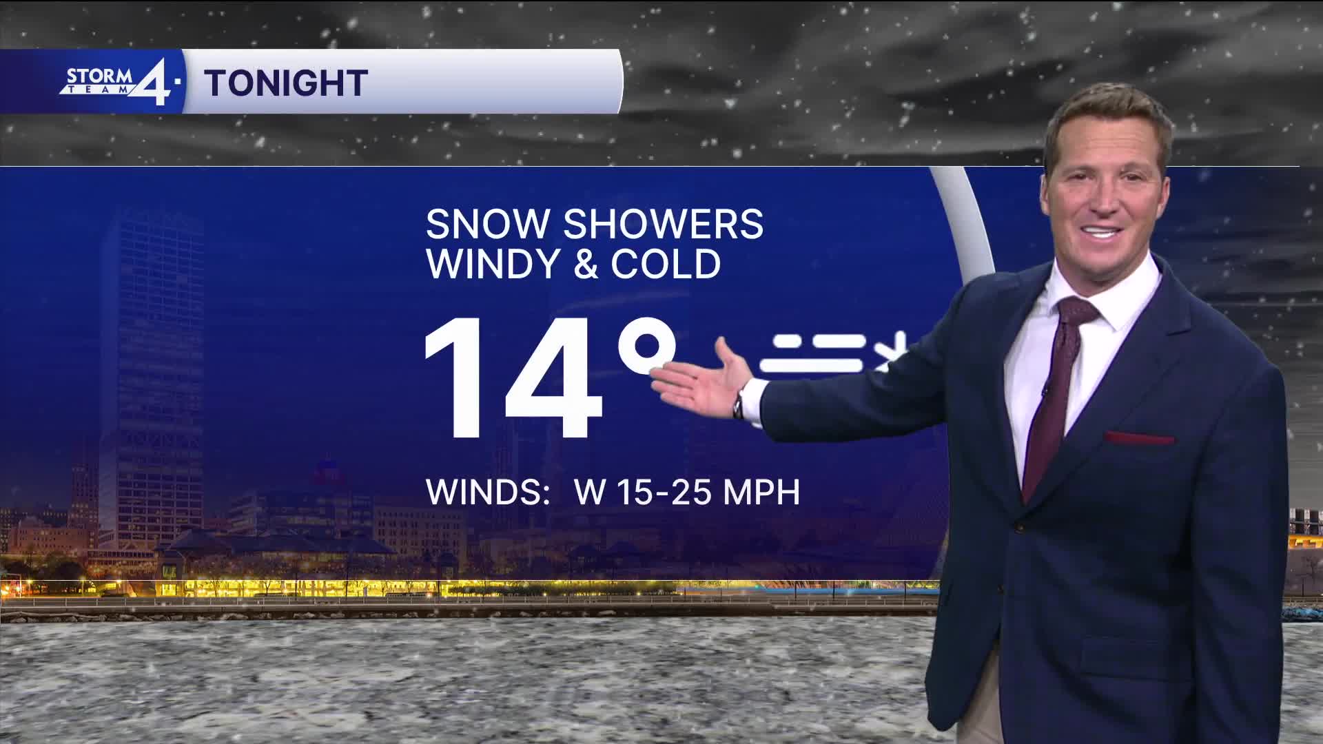
TONIGHT: Snow Showers, Windy, and Cold
Lows: 14
Wind: W 15-25 mph
FRIDAY: Flurries Early. Mostly Sunny, Windy, and Chilly
High: 22
Wind: W 10-20 mph
SATURDAY: Partly Cloudy with Slight Ch. Rain/Snow Showers
High: 38
SUNDAY: Mostly Sunny and Cold Again
High: 24
MONDAY: Mostly Cloudy. Slight Ch. Snow
High: 34
It’s about time to watch on your time. Stream local news and weather 24/7 by searching for “TMJ4” on your device.
Available for download on Roku, Apple TV, Amazon Fire TV, and more.
