

Just like last night, we can't rule out a few sprinkles again, as we find ourselves between two systems. With a good deal of cloud cover, low temperatures will hover around 50 degrees.
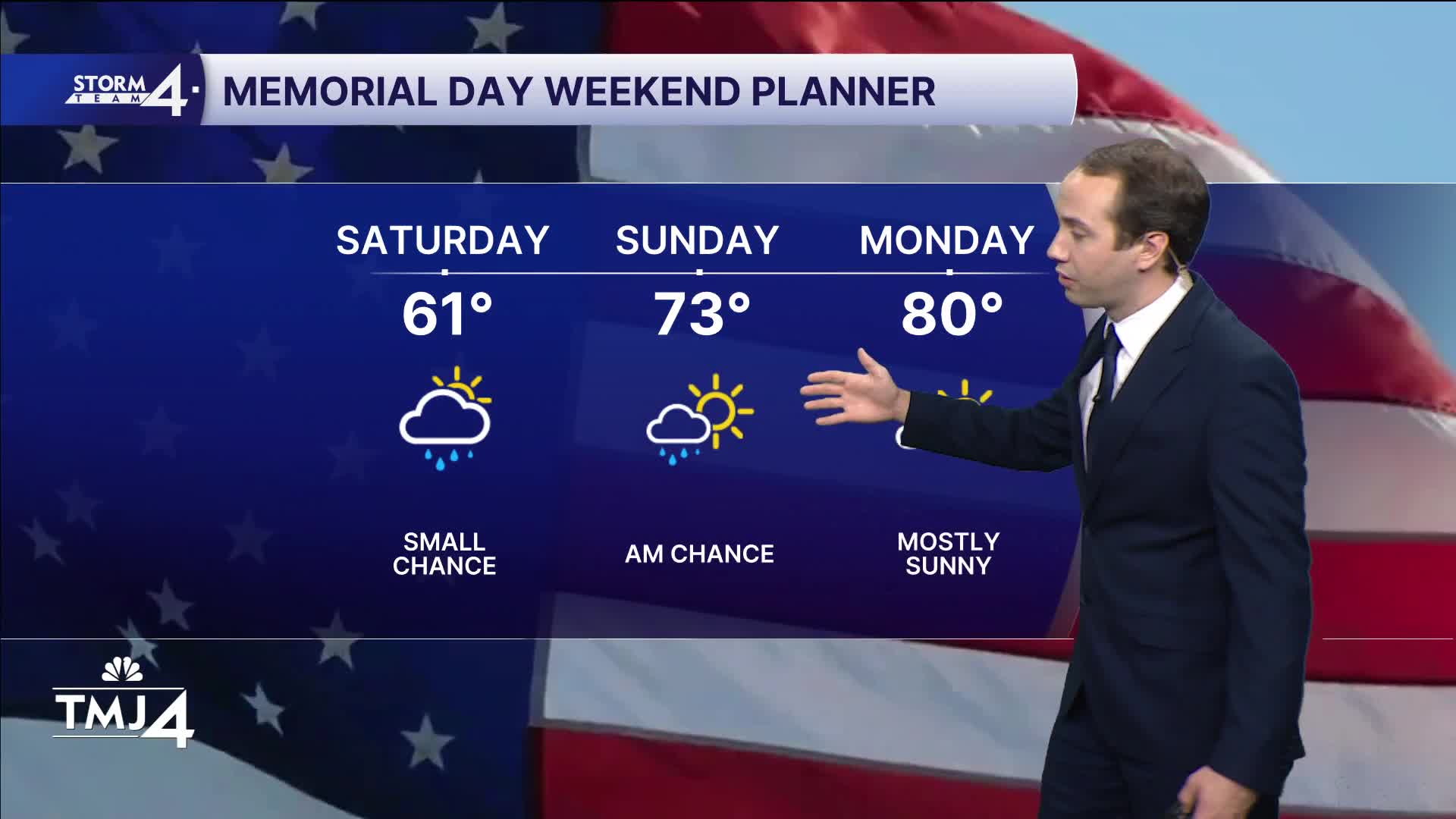
The Memorial Day weekend looks mainly dry. There is a small chance an isolated shower makes it into southeast Wisconsin Saturday evening through early Sunday morning. Another small chance for showers and storms arrives Sunday night. Memorial Day Monday looks completely dry. I wouldn't change or cancel any outdoor plans for these small rain chances.
Temperatures will be on the way up. An east breeze will keep things cool lakeside tomorrow, but inland spots may hit 70. Everyone should reach the 70s on Sunday and even 80 inland. Then everyone reaches the 80s on Memorial Day.
WATCH: What will the weather look like on Memorial Day?
TONIGHT: Mostly Cloudy. Few Sprinkles Possible
Lows: 48
Wind: NE 5-10 mph
SATURDAY: Partly Cloudy. Iso. Shower Late
High: 61 Lake 72 Inland
Wind: NE 5-10 mph
SUNDAY: Slight Ch. Showers Early. Partly Cloudy. Slight Ch. T-Storms again at Night.
High: 72 Lake 80 Inland
MONDAY: Mostly Sunny and Warm
High: 83
TUESDAY: Mostly Sunny and Very Warm
High: 86
It’s about time to watch on your time. Stream local news and weather 24/7 by searching for “TMJ4” on your device.
Available for download on Roku, Apple TV, Amazon Fire TV, and more.
