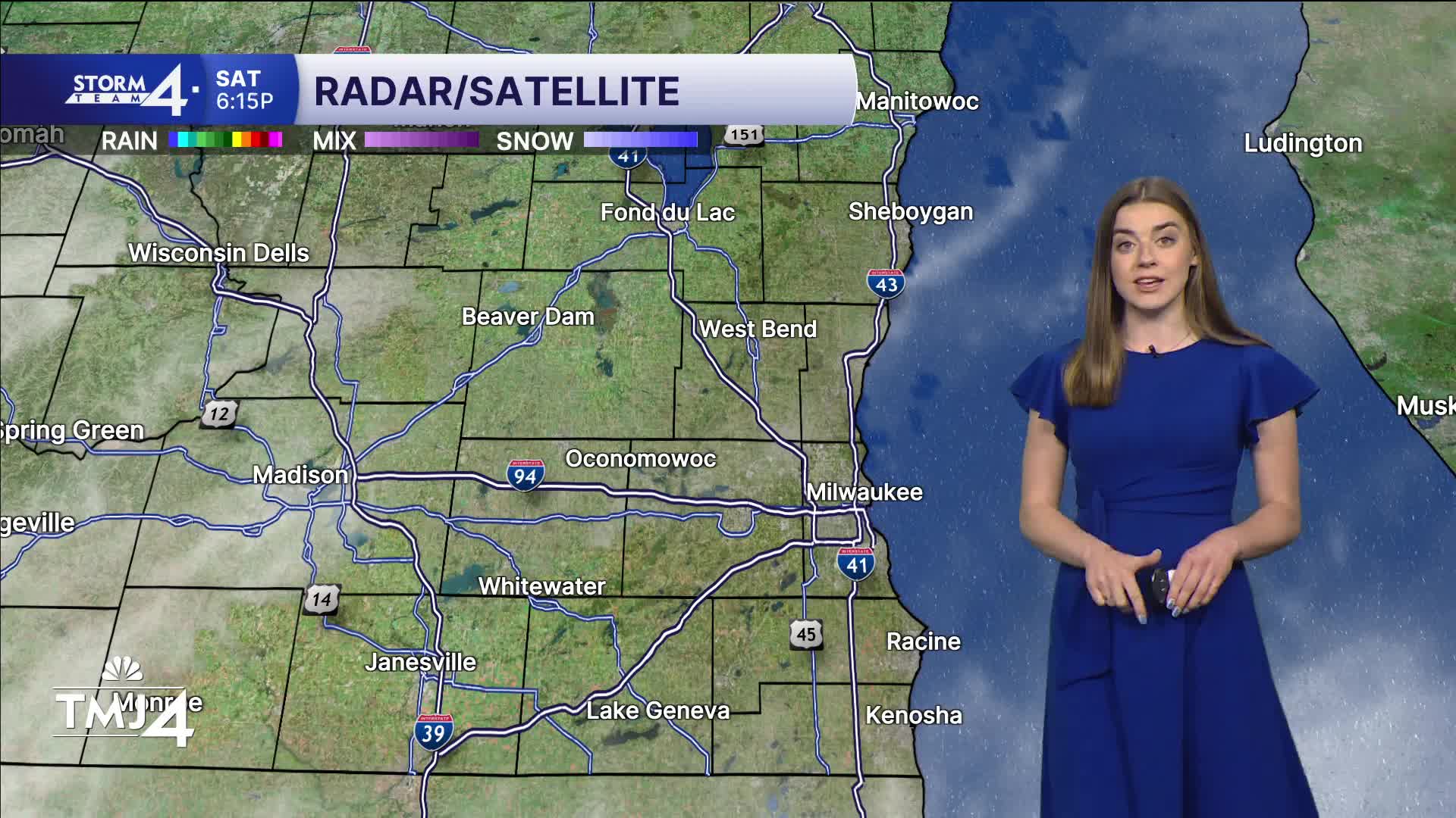


A round of showers is rolling through central Wisconsin early Saturday morning. A cold front advances in from the NW late today — sparking another round of showers/storms. A Marginal (Level 1) risk for severe weather is in place across SE Wisconsin. One or two storms could reach severe limits, but widespread severe weather is not expected. 0.25 - 0.5" of rain is possible under the heaviest downpours.
Highs climb into the mid-80s under a partly cloudy sky before falling into the 50s tonight.
A cooler and drier stretch of weather is expected through Sunday & Monday with highs in the 70s. Rounds of showers and a few storms are possible next week as highs remain below normal.
WATCH: Will we be seeing storms this evening?
SATURDAY: Partly Cloudy
High: 86
Wind: SW 10-15 G 30 MPH
TONIGHT: Chance Showers/Storms
Lows: 58
Wind: W 5-10 mph
SUNDAY: Mostly Sunny and Breezy
High: 70
MONDAY: Mostly Sunny
High: 76
TUESDAY: Partly Cloudy; Chance Showers/Storms
High: 77
WEDNESDAY: Showers/Storms Likely
High: 75
It’s about time to watch on your time. Stream local news and weather 24/7 by searching for “TMJ4” on your device.
Available for download on Roku, Apple TV, Amazon Fire TV, and more.
