

Storms are firing up to our west this afternoon, and we'll monitor the progression of these storms through the night.
All signs point to a decaying line of storms as they move into Wisconsin overnight. Our severe threat is very minimal to near non-existent. Some model runs have this line of storms fizzling out completely.
WATCH: How much rain is in the forecast?
We'll keep a slight chance of showers in the forecast for Friday.
A nice spring weekend is on the way. Both Saturday and Sunday look sunny with highs ranging from the middle 50s lakeside to the middle 60s inland.
TONIGHT: Mild with Ch. Showers/Storms Late
Lows: 58
Wind: S 10 mph
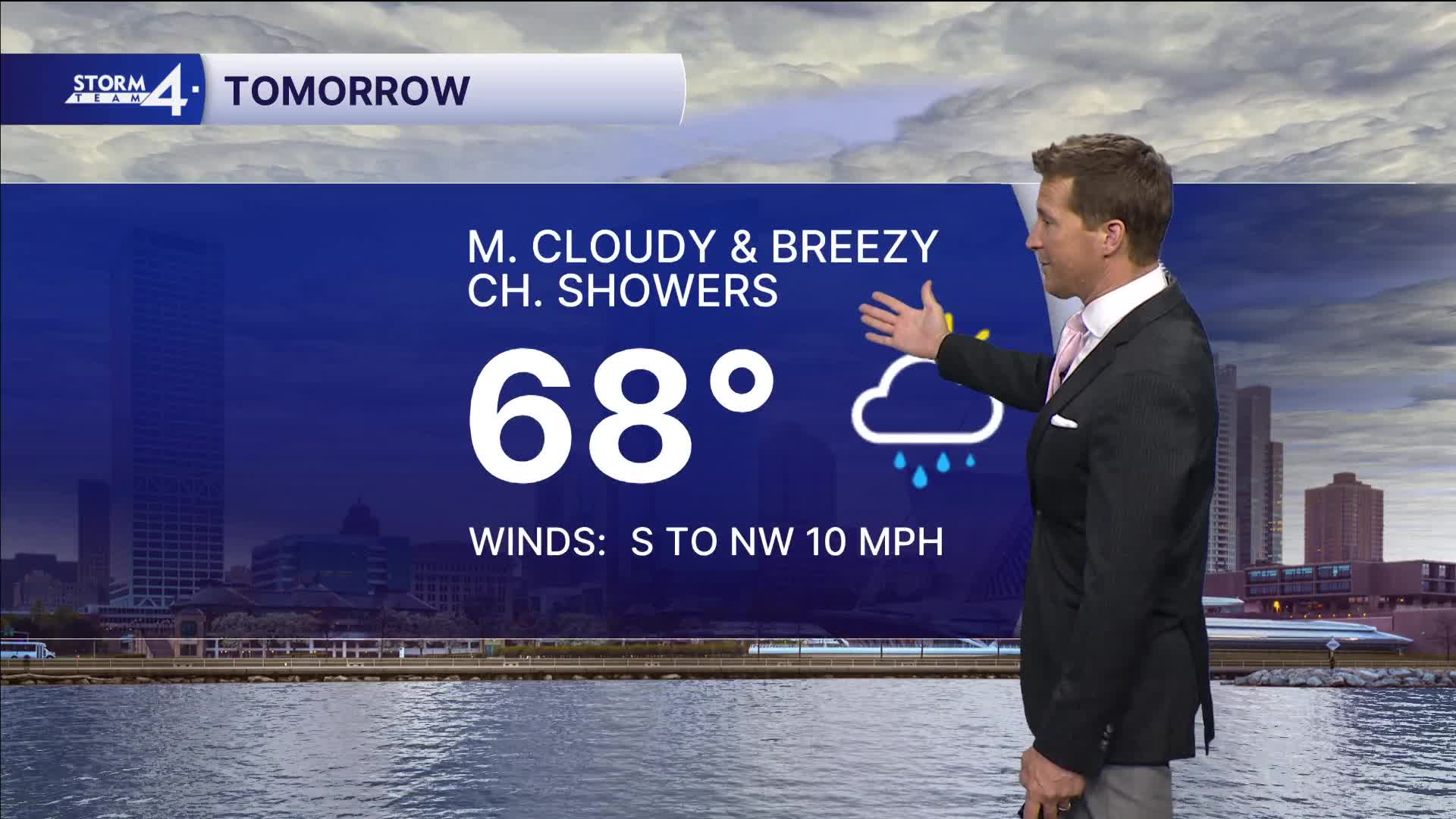
FRIDAY: Breezy with Slight Ch. Showers
High: 68
Wind: S to NW 10-15 mph
SATURDAY: Mostly Sunny
High: 57 Lake 65 Inland
SUNDAY: Mostly Sunny
High: 58 Lake 65 Inland
MONDAY: Mostly Cloudy with PM Rain/Storms Likely
High: 61 Lake 70 Inland
It’s about time to watch on your time. Stream local news and weather 24/7 by searching for “TMJ4” on your device.
Available for download on Roku, Apple TV, Amazon Fire TV, and more.
