



A Severe Thunderstorm Warning is in effect until 10 p.m. Wednesday for Fond du Lac and Dodge counties.
A Severe Thunderstorm Watch is in effect until 10 p.m. Wednesday for Sheboygan, Fond du Lac, Ozaukee, Washington, and Dodge Counties.
We've been clipped by some showers today, but most of the storm action has stayed to our north.
That could change this evening as storms are expected to develop farther south, as a frontal boundary also sags farther south. The best chance for severe weather will be with the initial storms across our northern counties early this evening.
Severe storm threats should diminish later tonight as we lose the heating of the day.
WATCH: When we could see a chance for storms
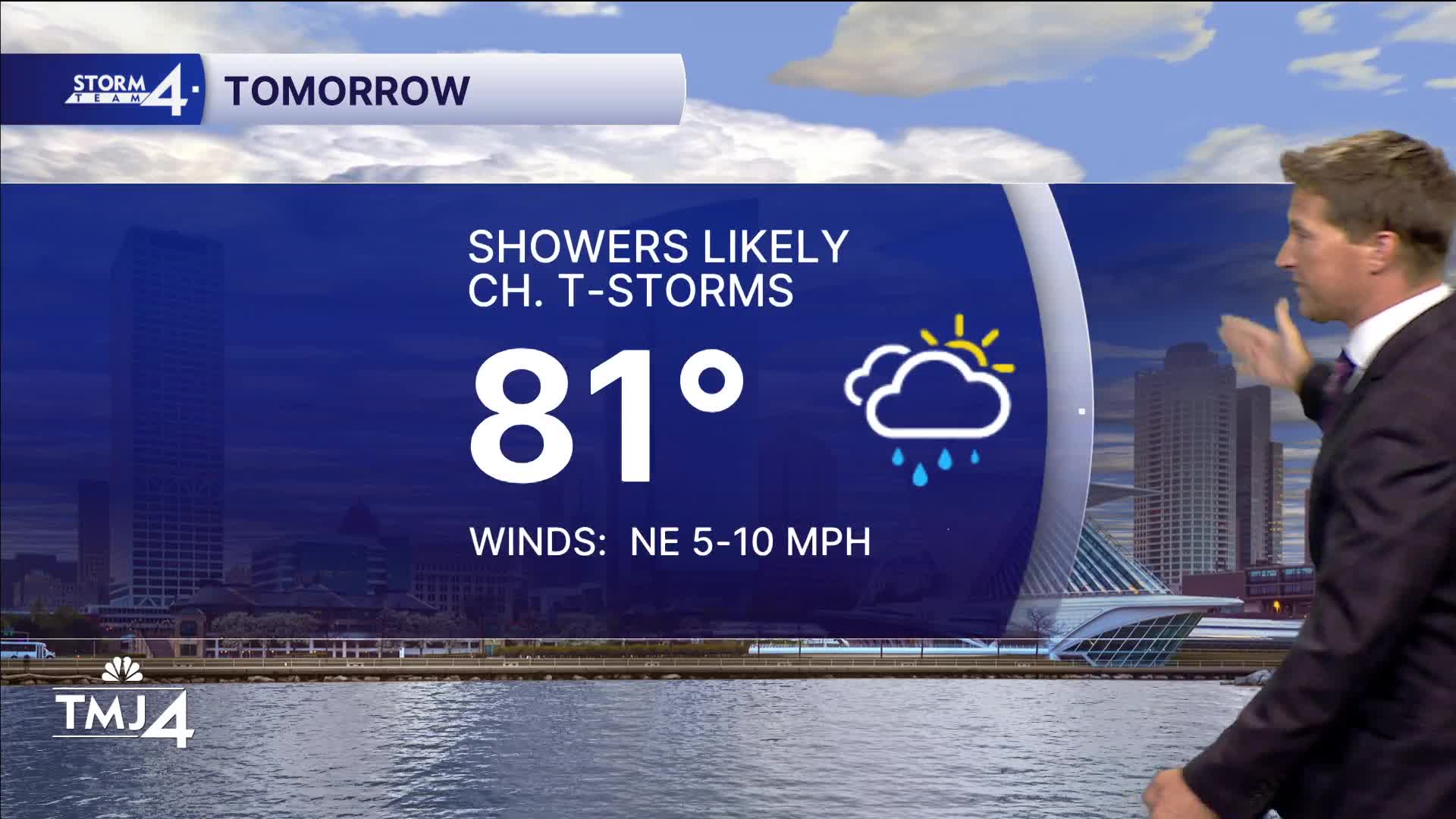
With humid air and a stalled frontal boundary in place, hit-and-miss showers and storms linger into Thursday, but no additional severe weather is expected.
Then we can look forward to a beautiful end of the week.
TONIGHT: Scattered T-Storms and Humid
Low: 70
Wind: Calm
THURSDAY: Muggy with Showers likely with Ch. T-Storms
High: 81
Wind: NE 5-10 MPH
FRIDAY: Mostly Sunny
High: 78 Lake 84 Inland
SATURDAY: Sunny
High: 80 Lake 85 Inland
SUNDAY: Sunny and Warm
High: 84 Lake 88 Inland
It’s about time to watch on your time. Stream local news and weather 24/7 by searching for “TMJ4” on your device.
Available for download on Roku, Apple TV, Amazon Fire TV, and more.
