

Along with warmer temperatures, the humidity is also ramping up. It's going to be a muggy night tonight with low temperatures and dewpoints around 70.
Our air mass will be primed for some thunderstorms tomorrow as an area of low pressure approaches from the west and a cold front dropping down from the north.
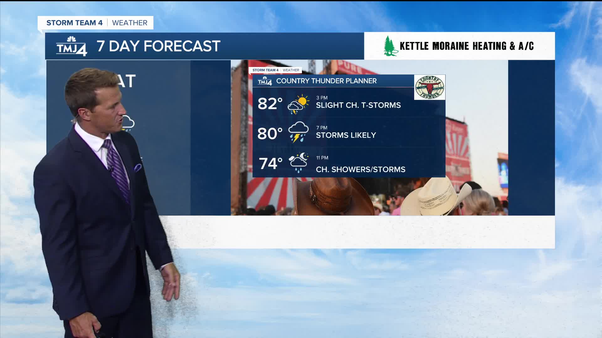
A stray shower is possible early tomorrow with a much better chance for thunderstorms arriving in the early evening.
When storms and a cold front will cool things down:
There is a threat for some severe weather with damaging wind the primary threat. Cooler weather awaits on Thursday.
TONIGHT: Mainly Clear and Muggy
Low: 71
Wind: S 5-10 mph
WEDNESDAY: Muggy with Slight ch. Showers Early. T-Storms Likely Late
High: 87
Wind: S 10 mph
THURSDAY: Stray morning shower Then Partly Cloudy and Cooler
High: 73
FRIDAY: Mostly Sunny
High: 74 Lake 78 Inland
SATURDAY: Partly Cloudy. Ch. T-Storms Late
High: 80
It’s about time to watch on your time. Stream local news and weather 24/7 by searching for “TMJ4” on your device.
Available for download on Roku, Apple TV, Amazon Fire TV, and more.
