
We finally got some rain! After a solid area of rain this morning, any showers and storms this evening will be very hit and miss.
Our northern counties may see the next round of storms around 10 p.m. this evening, then another round of storms may drop down farther south during the early morning hours on Saturday.
The rest of the weekend is shaping up to be dry.
Watch the full 7-Day forecast here:
Saturday will still be warm and quite humid, followed by a more comfortable Sunday.
In the longer term, more rain is likely on Monday. Then the hottest temperatures of the season are on tap for the middle of next week.
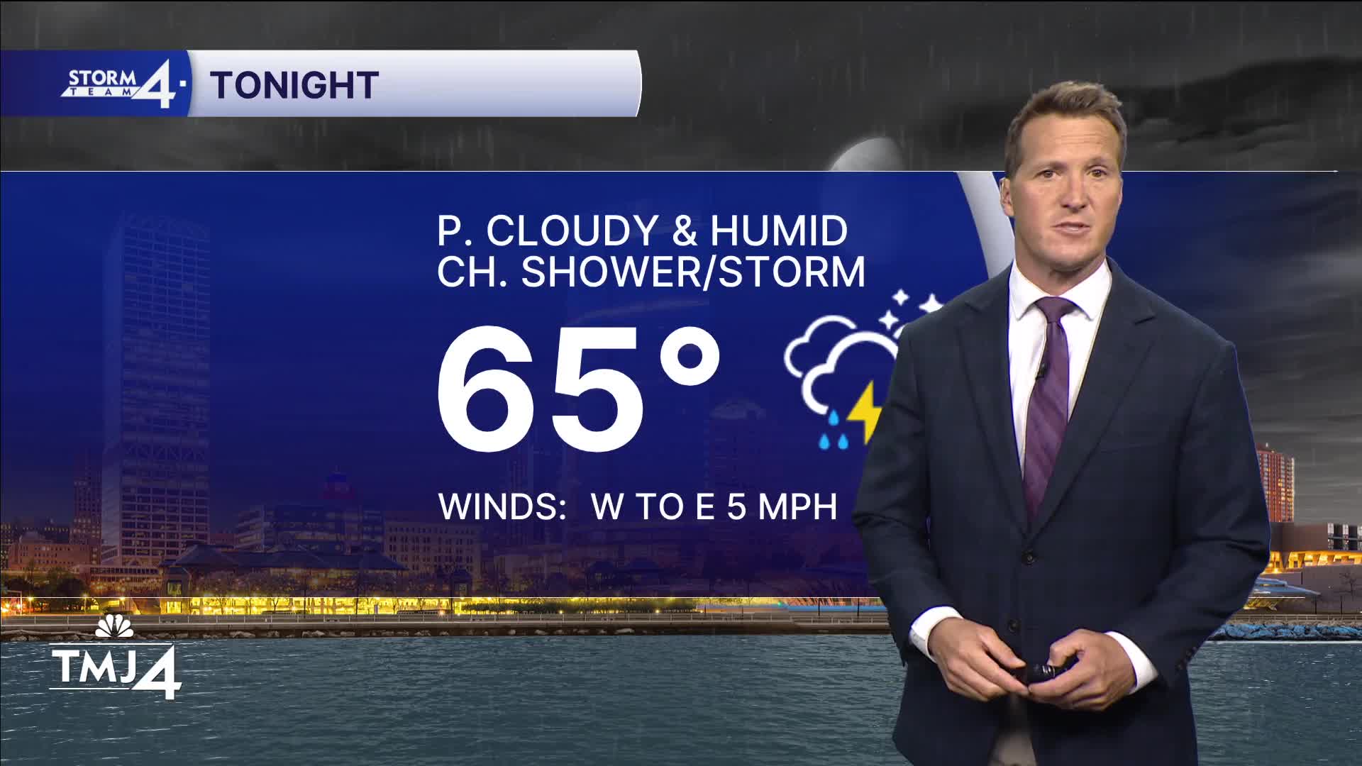
TONIGHT: Partly Cloudy and Humid. Ch. Showers/Storms, Mainly Late
Lows: 65
Wind: SW 5 mph
SATURDAY: Partly Cloudy. Warm & Humid
High: 81 Lake 86 Inland
Wind: W to E 5 mph
SUNDAY: Partly Cloudy
High: 75 Lake 80 Inland
MONDAY: Mostly Cloudy With Rain Likely
High: 72
TUESDAY: Ch. Shower Early. P. Cloudy, Very Warm, and Humid
High: 81 Lake 88 Inland
It’s about time to watch on your time. Stream local news and weather 24/7 by searching for “TMJ4” on your device.
Available for download on Roku, Apple TV, Amazon Fire TV, and more.
