

This has been a record-breaking week for extreme weather for Southeast Wisconsin.
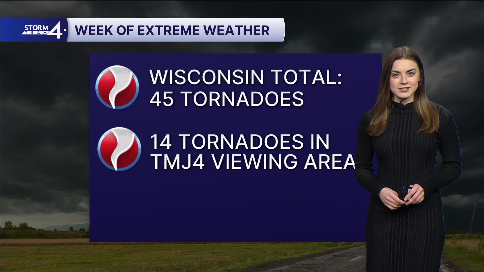
The National Weather Service has confirmed 14 tornadoes this week with 7 of the tornadoes occurring Friday night. We have also seen a month's worth of rain this week.
Thankfully, Saturday was dry.
Saturday night will be cold with temperatures falling to the low 30s. Breezy conditions may offset widespread frost, but it might be a good idea to pull sensitive plants indoors.
A quick round of light rain/sleet may clip the area on Sunday. Partly sunny conditions will keep highs in the upper 40s and lower 50s.
Watch: With a week full of severe weather behind us, what we can expect this week.
Sunshine is back on Monday and through much of next week. Highs gradually climb into the 60s and 70s.
Our next rain and storm chances are Thursday and Friday this week.
SATURDAY NIGHT: Clear and cool
Lows: 33
Wind: W 5-15 mph
SUNDAY: Partly cloudy and chilly; stray snow/sleet shower possible
High: 50
Wind: NW 5-15 mph
MONDAY: Mostly sunny
High: 50
TUESDAY: Mostly sunny
High: 70
WEDNESDAY: Mostly sunny
High: 60
THURSDAY: Chance storms
High: 72
It’s about time to watch on your time. Stream local news and weather 24/7 by searching for “TMJ4” on your device.
Available for download on Roku, Apple TV, Amazon Fire TV, and more.
