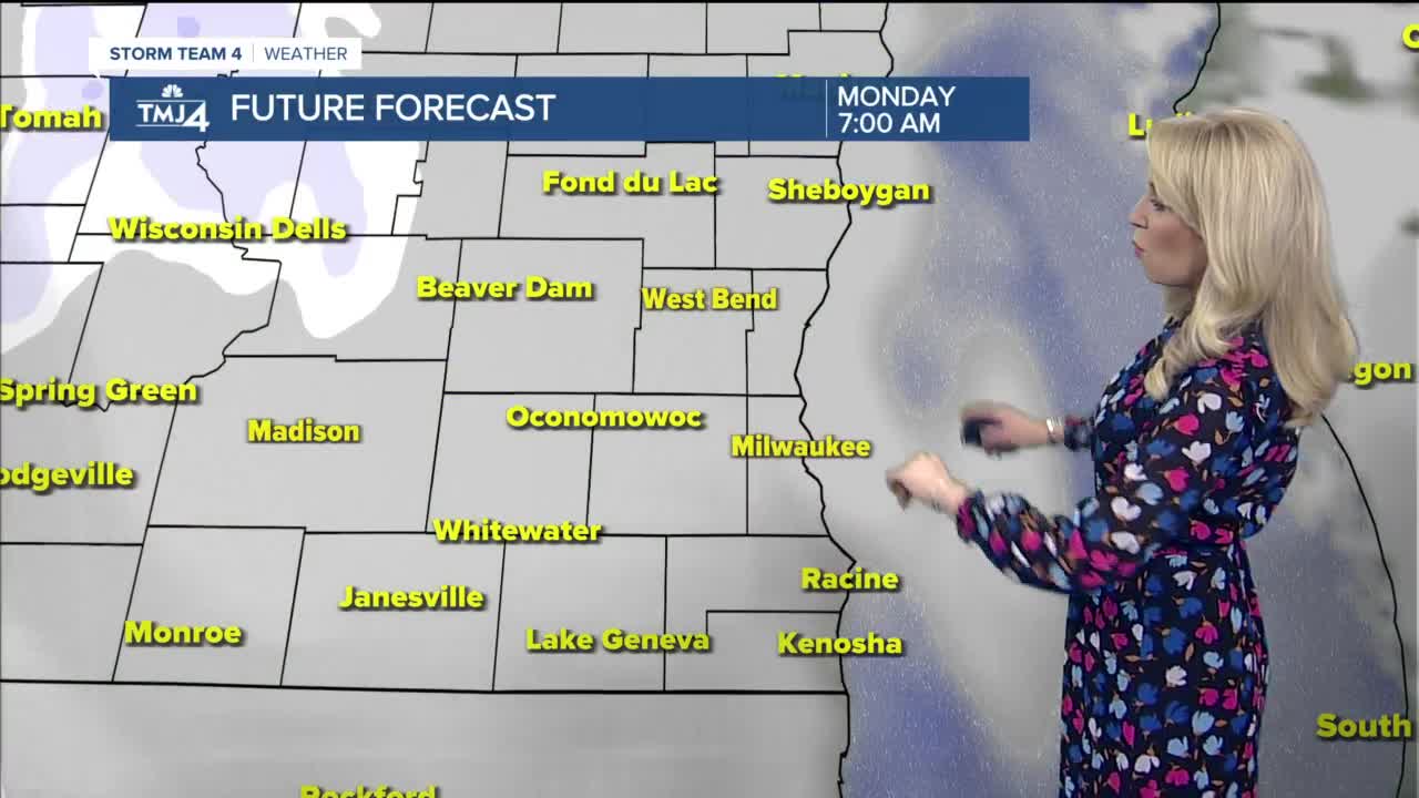


Monday morning will be cloudy, and by late morning we see a few snow showers move in. They will continue into early afternoon, likely mixing with rain showers near the lake and for areas south of Milwaukee.
Little to no snow accumulation is expected, but there could be brief impacts to visibility for drivers, and a few slick spots on the roads. Highs Monday will be in the upper 30s. Due to breezy winds, it will feel like temperatures are in the 20s much of the afternoon.
Tuesday is breezy and partly cloudy with highs in the low 40s. Wednesday a few light rain and snow showers are possible. Highs will be in the mid 40s. Thursday is the warmest day of the week with highs in the upper 40s and some sunshine.
Friday through the weekend the models are in poor agreement, but there is at least some chance for a rain and snow mix. Check back with us during the week sometime for an update.
MONDAY: Light snow & rain showers, breezy
High: 39
Wind: S 10-15 G 25 mph
TUESDAY: Partly cloudy, breezy
High: 43
WEDNESDAY: Mostly cloudy. Chance for snow & rain, breezy
High: 46
THURSDAY: Partly sunny, breezy
High: 47
FRIDAY: Partly cloudy, a few rain and snow showers
High: 44
