

It sure was nice to see blue skies again today, but it was still chilly as high temperatures only reached the mid-20s.
Low temperatures fall to around 10 degrees tonight with a wind chill near 0. Another sunny but cool day is on tap for tomorrow.
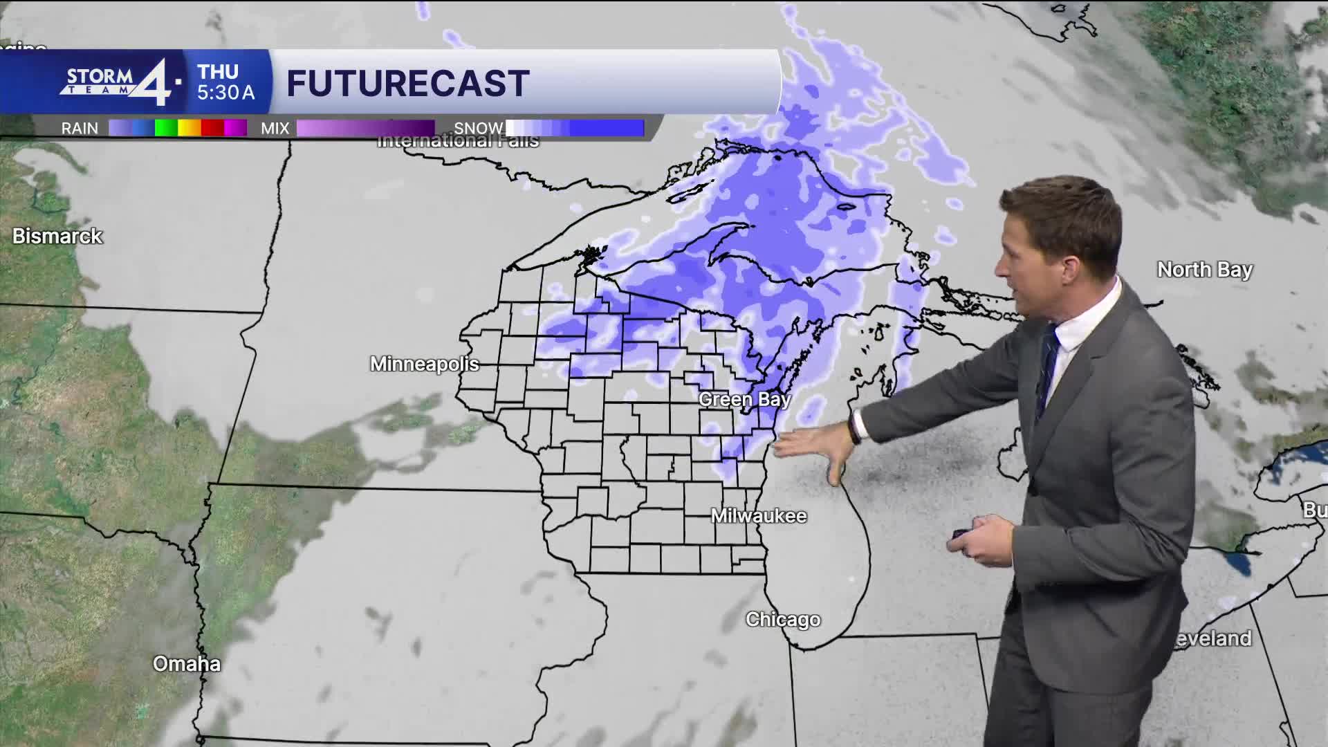
Watch: When we could see our next chance for snow and rain
We're focusing on a couple of chances for light snow to end the work week. The first chance arrives Thursday morning, followed by a second chance Thursday evening. Around an inch of snow accumulation is expected, and maybe a little bit more if Thursday evening's snow pans out.
TONIGHT: Partly Cloudy
Low: 14
Wind: NW 5-10 mph
WEDNESDAY: Mostly Sunny
High: 26
Wind: NW 5-10 mph
THURSDAY: Light Snow Likely. Around 1" Possible
High: 31
FRIDAY: Slight Ch. Snow showers
High: 34
SATURDAY: Parlty Cloudy and Cold
High: 22
It’s about time to watch on your time. Stream local news and weather 24/7 by searching for “TMJ4” on your device.
Available for download on Roku, Apple TV, Amazon Fire TV, and more.
